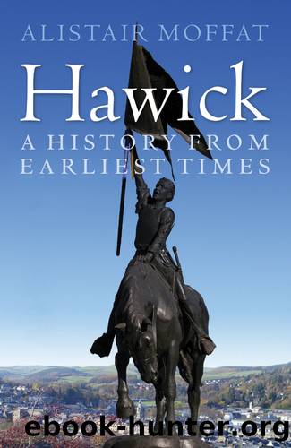
Hawick by Alistair Moffat

Author:Alistair Moffat [Moffat, Alistair]
Language: eng
Format: epub
ISBN: 9780857908070
Barnesnoble:
Publisher: Birlinn, Limited
Published: 2014-03-06T00:00:00+00:00
6
CORNETS, THE COMMON AND CARTERHAUGH
HAWICK GREW very slowly after the reiving times. In the wars that followed the rift between Charles I and his parliament â what is often miscalled the English Civil War (it affected Scotland and Ireland profoundly) â the Solemn League and Covenant was signed in 1643 by Scottish Covenanters and the English parliamentary party. Deeply anti-royalist and anxious to maintain the independence of the Church of Scotland, the Lords of the Covenant raised an army and demanded that each Scottish burgh supply soldiers to fight for the common cause. The ratio was set at one soldier for every 60 inhabitants and, according to the town records, Hawick could supply only ten. That means that, in 1644, there were probably between 600 and 800 living in the town.
The records also offer the first glimpse, the earliest sense, of the extent and character of the burgh. To the west, a vennel or pathway led from the West Port down to the Teviot where there was a coble ferry â a flat-bottomed raft that could be poled across to the opposite bank at Langlands. The West Port stood at the head of the Auld Mid Raw which, in the 17th century, was flanked by Back and Fore Raws. Early maps show that Fore Raw ran on the south-eastern side of Auld Mid Raw and that the Kirk Wynd turned a right angle, as it does now, down to the Slitrig. Back Raw lay on the other side and the Howegate ran down to the river.
This sort of arrangement of parallel streets survives in Lauder where a block of houses tails behind the old town hall or tollbooth and streets run either side. From the Back Raw, the Howegate ran down to the Sandbed and the Slitrig where what was called the Garrison or the Lieutenantâs Tower stood. Close by was the Auld Brig over the Slitrig, what linked the older, western part of Hawick with the High Street and the more recently built area. Known respectively as Eastla and Westla, each part of the town used to take turns to elect the early Hawick Cornets.
In front of the Black Tower was Tower Knowe and it overlooked the haughland down by the banks of the Teviot. On this hillock, there once stood a tall tree. It was probably the Devilâs Tree, the prominent place where those convicted of crimes by the bailies â the town magistrates â were forced to stand and endure public humiliation. Opposite the Black Tower was the town mill and it was apparently defended by another fortified building, perhaps a tower. The High Street ran westwards but had a short central row of houses, echoing the arrangement across the Slitrig. The market cross and the Tolbooth â the town hall and prison â stood where the stately 19th-century town hall now rises.
Criminals, often guilty of petty offences, were also made to stand at the mercat cross with notes pinned to them detailing their offences and often items they stole were hung around their necks.
Download
This site does not store any files on its server. We only index and link to content provided by other sites. Please contact the content providers to delete copyright contents if any and email us, we'll remove relevant links or contents immediately.
Room 212 by Kate Stewart(5099)
The Crown by Robert Lacey(4796)
Endurance: Shackleton's Incredible Voyage by Alfred Lansing(4747)
The Iron Duke by The Iron Duke(4343)
The Rape of Nanking by Iris Chang(4193)
Joan of Arc by Mary Gordon(4088)
Killing England by Bill O'Reilly(3989)
Say Nothing by Patrick Radden Keefe(3972)
I'll Give You the Sun by Jandy Nelson(3424)
Shadow of Night by Deborah Harkness(3350)
Hitler's Monsters by Eric Kurlander(3324)
Mary, Queen of Scots, and the Murder of Lord Darnley by Alison Weir(3194)
Blood and Sand by Alex Von Tunzelmann(3185)
Eleanor & Park by Rainbow Rowell(3144)
Darkest Hour by Anthony McCarten(3114)
Margaret Thatcher: The Autobiography by Thatcher Margaret(3071)
Book of Life by Deborah Harkness(2919)
Red Famine: Stalin's War on Ukraine by Anne Applebaum(2914)
The One Memory of Flora Banks by Emily Barr(2851)
