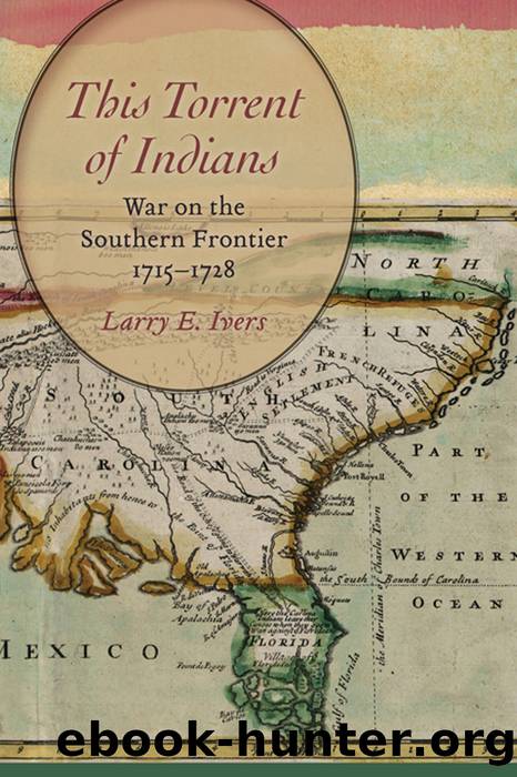
This Torrent of Indians by Larry E. Ivers

Author:Larry E. Ivers
Language: eng
Format: epub
Publisher: University of South Carolina Press
Published: 2016-05-15T00:00:00+00:00
Congaree Fort, 1718â22. âA Sketch Map of the Rivers Santee, Congaree, Wateree, Saludee, etc., with the Road to the Cuttauboes,â ca. 1750. Congaree Fort is shown in the upper left (northwest) portion of the map. In Crown Collection of Photographs of American Maps, edited by Archer Butler Hulbert (Cleveland: Clark, 1915), 3rd series, plate 25.
South Carolinaâs new defense act reduced Fort Mooreâs garrison to a captain, a lieutenant, and fifteen soldiers under the command of Charles-worth Glover. They farmed a tract of land near the fort, and the government paid them for their harvested corn. A captain and six scouts manned the Port Royal Fort and its scout boat. An additional base for scouts was constructed at the âwater passageâ on the Inland Passage at the northern point of Pinckney Island. It was called Passage Fort and became the head-quarters for a scout boat, the crew of which consisted of a captain and six scouts. Both scout-boat crews were reinforced by the addition of the eight Tuscarora Indians and the Highland indentured servants at Port Royal Fort. Two years later the surviving Highlanders, after serving only four of their seven years of bondage, were freed. They became South Carolinians and continued to serve as soldiers.15
The Southern Rangers, the largest ranger company, was authorized a captain, lieutenant, and twenty-eight rangers. The company was intended to have constructed and garrisoned a new fort near the deserted town of Palachacola on the east side of the Savannah River, where Yamasee and Creek war parties often crossed into South Carolina. However the construction of a Palachacola fort was not yet undertaken, and the Southern Rangers remained headquartered at Woodwardâs Fort. The company of Western Rangers, with a captain and five rangers, continued patrolling from Edisto Bluff Fort on Rawlings plantation on the east bank of the Edisto River. The company of Northern Rangers had a captain and nine rangers. They were probably located at Hearnâs Fort, the northernmost fortified plantation. The December 1717 defense act established a new incentive: a bounty was paid for enemy Indian scalps.16
By 1717 South Carolinians were returning to the islands of Port Royal. As encouragement to settle on that frontier, they received free grants of town lots in the new village of Beaufort. Beaufort had been surveyed in 1711 but was not occupied to any extent. The planters were apprehensive about the continuing Yamasee raids. They were concerned with the conduct of Indian Foster and his seven Tuscarora Indians, who were part of the garrison of Port Royal Fort at Cochranâs Point. The Indians were apparently hunting, fishing, and lounging. They were not scouting the countryside on the lookout for Yamasee war parties, nor were they serving as the garrisonâs messengers to warn people of approaching danger. Port Royal Fort was about eight miles to the northwest of Beaufort, too far away for people to reach in an emergency unless they had adequate warning. The local planters offered to construct a fort in Beaufort at their own expense, to provide a place for their refuge.
Download
This site does not store any files on its server. We only index and link to content provided by other sites. Please contact the content providers to delete copyright contents if any and email us, we'll remove relevant links or contents immediately.
| Canada | Caribbean & West Indies |
| Central America | Greenland |
| Mexico | Native American |
| South America | United States |
Cat's cradle by Kurt Vonnegut(15316)
Pimp by Iceberg Slim(14473)
4 3 2 1: A Novel by Paul Auster(12360)
Underground: A Human History of the Worlds Beneath Our Feet by Will Hunt(12080)
The Radium Girls by Kate Moore(12009)
Wiseguy by Nicholas Pileggi(5757)
The Fire Next Time by James Baldwin(5418)
Perfect Rhythm by Jae(5390)
American History Stories, Volume III (Yesterday's Classics) by Pratt Mara L(5290)
Paper Towns by Green John(5168)
Pale Blue Dot by Carl Sagan(4990)
A Higher Loyalty: Truth, Lies, and Leadership by James Comey(4942)
The Mayflower and the Pilgrims' New World by Nathaniel Philbrick(4482)
The Doomsday Machine by Daniel Ellsberg(4477)
Killers of the Flower Moon: The Osage Murders and the Birth of the FBI by David Grann(4431)
The Sympathizer by Viet Thanh Nguyen(4381)
Too Much and Not the Mood by Durga Chew-Bose(4324)
The Borden Murders by Sarah Miller(4302)
Sticky Fingers by Joe Hagan(4180)
