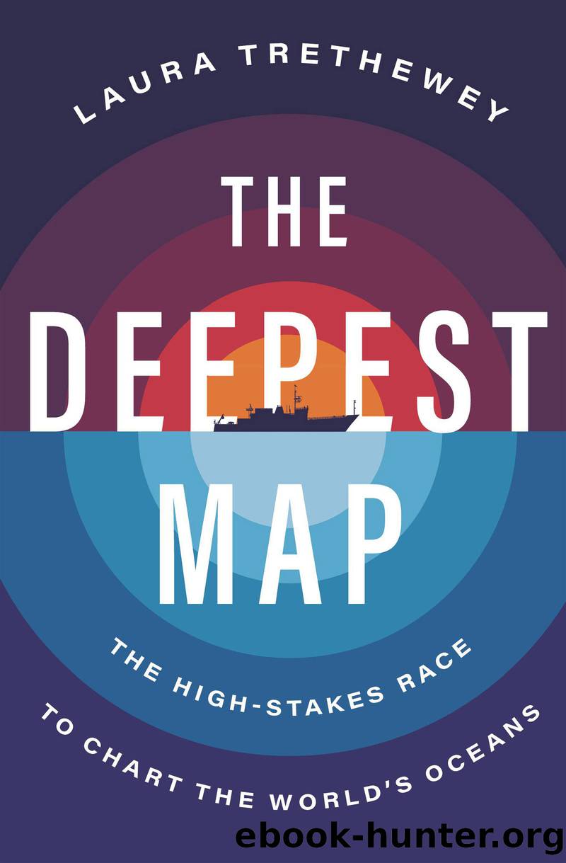
The Deepest Map by Laura Trethewey

Author:Laura Trethewey
Language: eng
Format: epub
Publisher: HarperCollins
Published: 2023-05-15T00:00:00+00:00
Chapter 8
The Robot Revolution at Sea
1.
What does the future of mapping the seafloor look like? If youâre Richard Jenkins, the founder and CEO of Saildrone, it looks like sitting in a sunny conference room overlooking San Francisco Bay, drinking a cup of coffee as you watch an icon on a computer screen move across uncharted seafloor a hundred miles offshore.
That was what I was doing one morning while visiting the start-upâs headquarters in Alameda, California. The day before, Saildrone had sent its 72-foot ocean drone, the first of a class called Surveyor, on a testing mission offshore. As Jenkins and I chatted, the Surveyor quietly ran a set of perfectly spaced survey lines back and forth across a stretch of seafloor 100 or so miles off the coast of California.
Occasionally, Jenkins leaned forward in his chair to tap at the little Saildrone icon moving across the Pacific. He checked in on the Surveyorâs âengine room,â where a dashboard of gauges showed the remaining charge of the onboard solar panels, the diesel reserves, and the wind power and direction. Another page showed a firehose of data streaming in from the Surveyorâs sensors, tracking wind speed and direction, as well as wave heights. The Surveyorâs more compact cousin, the Explorer, at 23 feet long, is basically a gigantic ocean-measuring machine with twenty-some sensors tracking ocean temperature, salinity, relative humidity, barometric pressure, dissolved oxygen, chlorophyll, and much more. (The companyâs motto: âAny Sensor, Anytime, Anywhere.â)
On another screen, Jenkins scrolled through pictures taken from every angle on board the Surveyor, picture after picture streaming in fresh and refreshed each minute. Over the years that the various drones have spent at sea, Saildrone has amassed tens of millions of pictures in what it calls the largest collection of ocean imagery in the world. Those pictures have been annotated by humans and fed into a patented algorithm that trains the drones to assess the situation based on what theyâre seeing. Should the drone change course around an incoming cargo ship? Report a suspicious boat to border control? These questions are relayed back to flesh-and-blood human operators on land, who then make the final call. The goal, Jenkins explained, is to decrease the need for humans to go to sea and chart the ocean floor and make ocean mapping faster, cheaper, and more environmentally friendly.
Jenkins toggled over to a real-time view from the top of the Surveyorâs sail 50 feet above the water. âThe goal here is to give you the same domain awareness you could get from standing on a bridge of a ship but sitting in a chair [on land] drinking coffee,â Jenkins said, his English accent so buttery soft that I had to lean forward in my seat to understand him. Finished with the demonstration, he leaned back in his chair. The Surveyor was doing fine, he said, and we picked up our thread of conversation again. Weirdly, the future of ocean mapping felt a lot like checking social media or doing anything else on your phone these days.
Download
This site does not store any files on its server. We only index and link to content provided by other sites. Please contact the content providers to delete copyright contents if any and email us, we'll remove relevant links or contents immediately.
The Lonely City by Olivia Laing(4798)
Animal Frequency by Melissa Alvarez(4461)
All Creatures Great and Small by James Herriot(4311)
Walking by Henry David Thoreau(3953)
Exit West by Mohsin Hamid(3823)
Origin Story: A Big History of Everything by David Christian(3687)
COSMOS by Carl Sagan(3617)
How to Read Water: Clues and Patterns from Puddles to the Sea (Natural Navigation) by Tristan Gooley(3461)
Hedgerow by John Wright(3354)
How to Read Nature by Tristan Gooley(3335)
The Inner Life of Animals by Peter Wohlleben(3310)
How to Do Nothing by Jenny Odell(3293)
Project Animal Farm: An Accidental Journey into the Secret World of Farming and the Truth About Our Food by Sonia Faruqi(3212)
Origin Story by David Christian(3194)
Water by Ian Miller(3177)
A Forest Journey by John Perlin(3068)
The Plant Messiah by Carlos Magdalena(2927)
A Wilder Time by William E. Glassley(2858)
Forests: A Very Short Introduction by Jaboury Ghazoul(2836)
