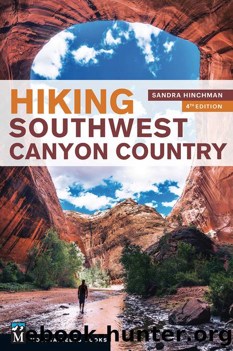
Hiking Southwest Canyon Country by Sandra Hinchman

Author:Sandra Hinchman
Language: eng
Format: epub
ISBN: 9781680511475
Publisher: Mountaineers Books
Published: 2019-07-14T16:00:00+00:00
54.Elephant Loop
Moderate 10.5-mile lollipop loop; allow 5–6 hours
Map: Trails Illustrated 210: Canyonlands National Park/Needles/Island
GETTING THERE: From the Needles District visitor center, drive west on the park road toward the Squaw Flat Campground. Just before you reach the campground, the road forks. Bear right and continue to Elephant Hill, which is 3 miles distant on a good, if narrow, unpaved road. Park in the lot.
ON THE TRAIL: This scenic trip visits Chesler Park and the Devils Pocket graben (sunken fault-block). The trail begins at a kiosk to the rear of the parking lot. Assisted by stairs, it ascends 150 feet to a plateau. Favoring slickrock, the trail affords excellent views of surrounding needles as well as the more distant Six-shooter Peaks. Go right at the mile 1.5 junction with a trail leading to Squaw Flat Campground. From here, the trail passes through two slots and descends on steps to a side-canyon of Elephant Canyon. At mile 2.5 you reach the Elephant Canyon floor, intersecting the trail to Druid Arch (Hike 51), which heads upstream.
Go straight ahead at this intersection. The trail ascends, hugging a side-canyon. When the side-canyon forks, turn right, continuing to climb. At mile 2.75, you arrive at a junction. The trail to the right, marked for Devils Kitchen, is the one on which you will return later to close the loop. But for now, ascend steeply to a lookout above needle-encircled Chesler Park. Descending from the pass, proceed for a short distance, reaching yet another junction at mile 3, this one signed for Devils Kitchen. Turn right here.
Exit Chesler Park by means of a low pass with views of the remote Henry Mountains. Descending to a bowl, you reach a signpost at mile 4.25. Turn right here, continuing toward Devils Kitchen. Soon the trail drops down through a notch, assisted by logs. It takes a sharp right turn and heads for a pass through the needles. On the other side of the pass is the Devils Pocket. Cross its lush meadow to reach Devils Kitchen Camp at mile 5.5, adjacent to a jeep road.
Rather than following the jeep road, the trail jogs sharply to the right. Expect many ups and downs in the next few miles. You will pass through a few joints, the last of which has a low ceiling. Skirting back around the needles that delimit the boundary of Chesler Park, the trail contours around slickrock benches to close the loop at mile 7.75. Go left here to return to Elephant Hill.
Download
This site does not store any files on its server. We only index and link to content provided by other sites. Please contact the content providers to delete copyright contents if any and email us, we'll remove relevant links or contents immediately.
| Excursion Guides | Mountain Climbing |
| Rock Climbing |
Annapurna by Maurice Herzog(2834)
Into Thin Air by Jon Krakauer(2695)
SAS Survival Handbook by John 'Lofty' Wiseman(2254)
The Ogre by Doug Scott(2105)
Reservoir 13 by Jon McGregor(1846)
Everest the Cruel Way by Joe Tasker(1822)
The End of Eddy by Édouard Louis(1744)
Touching the Void by Joe Simpson(1702)
The Push by Tommy Caldwell(1681)
Iced In by Chris Turney(1575)
The Call of Everest by Conrad Anker(1547)
The Isle of Mull by Terry Marsh(1516)
Miracle in the Andes by Nando Parrado(1488)
Touching the Void (1987) by Joe Simpson(1410)
Mud, Sweat, and Tears by Bear Grylls(1295)
Himalaya Bound by Michael Benanav(1254)
Higher Calling by Max Leonard(1237)
Death Grip by Matt Samet(1158)
Backcountry Bear Basics by Dave Smith(1128)
