A History of the World in 12 Maps by Jerry Brotton
Author:Jerry Brotton
Language: eng
Format: epub, mobi, pdf
Publisher: Penguin Group US
Published: 2013-11-13T16:00:00+00:00
8
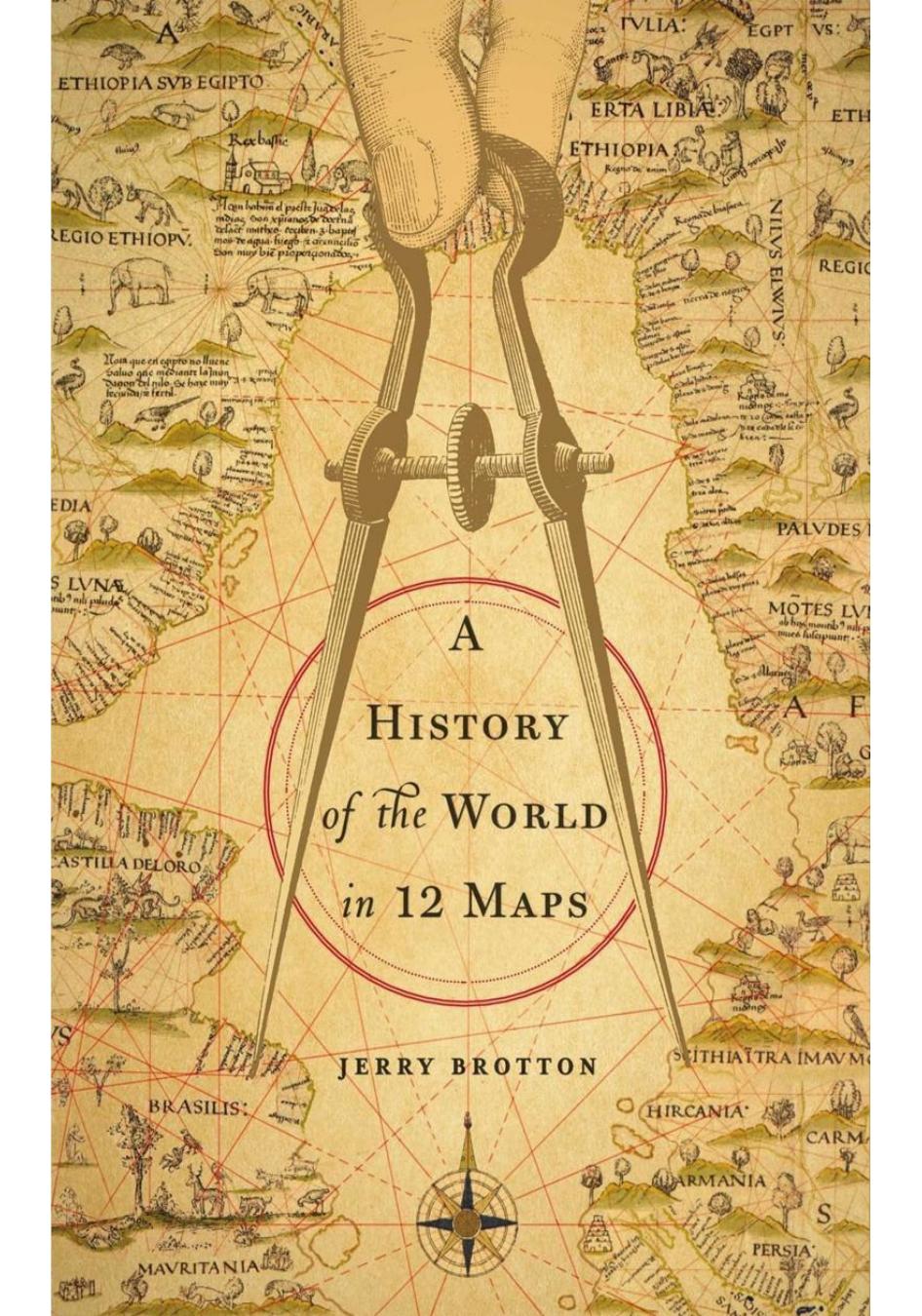
Money
Joan Blaeu, Atlas maior, 1662
Amsterdam, 1655
On 29 July 1655 the new Amsterdam Town Hall was officially opened with a banquet attended by the city’s councillors and dignitaries. Designed by the Dutch architect Jacob van Campen, and taking over seven years to complete, the building was the largest architectural project ever undertaken by the Dutch Republic in the seventeenth century. Van Campen’s aim was to produce a building that would rival the Roman Forum, and announce to the world the emergence of Amsterdam as the new centre of political and commercial power in early modern Europe. Addressing the banquet, the renowned scholar and diplomat Constantijn Huygens recited a poem commissioned for the occasion, in which he extolled the city’s councillors as ‘the founders of the eighth wonder of the world’.1
The building’s greatest wonder, as well as its most interesting innovation, lay at its heart, the vast Burgerzaal, or People’s Hall. At 46 metres long and 19 metres wide, with a height of 28 metres, the People’s Hall was the largest unsupported civic space then in existence. Unlike the great Renaissance royal palaces of the fifteenth and sixteenth centuries, the People’s Hall was open to everyone. It also departed from earlier monumental built spaces for another reason. Rather than adorning its walls with tapestries or paintings, the principal decoration of the People’s Hall was on its polished marble floor in the form of three flat, hemispherical globes.
As visitors walked into the hall, the first image showed the western terrestrial hemisphere, the second the northern hemisphere of the heavens, and the third the northern terrestrial hemisphere. Carefully inlaid into the marble floor, rather than hung on walls, enclosed in books or locked away by their owners, like so many earlier maps, the images in the People’s Hall were displayed for all to see. Amsterdam’s citizens, so many of whom had personal or indirect experience of long-distance seaborne travel, were now given the novel sensation of walking across the earth. The world, it seemed, had come to Amsterdam. Such was their confidence, the Dutch Republic’s burghers did not even feel the need to place their city in the middle of their marble hemispheres: for them, Amsterdam was the centre of the world.
The three hemispheres were inlaid in the Hall’s floor by the Dutch artist Michiel Comans, but they are reproductions of a world map printed seven years earlier and made by arguably the greatest, certainly most influential, Dutch mapmaker in the history of cartography: Joan Blaeu (1598–1673). Printed on twenty-one sheets, more than 2 metres in length and nearly 3 metres high, Blaeu’s vast copperplate engraved world map, depicting the twin terrestrial hemispheres, was noticeably different from Mercator’s 1569 world map with its odd projection and speculative western and southern continents. Unlike Mercator, Blaeu was able to draw on his role as an institutional mapmaker: from 1638 he was the official cartographer to the Dutch East India Company, the Vereenigde Oostindische Compagnie (otherwise known as the VOC), which allowed him unrivalled access to records
Download
A History of the World in 12 Maps by Jerry Brotton.mobi
A History of the World in 12 Maps by Jerry Brotton.pdf
This site does not store any files on its server. We only index and link to content provided by other sites. Please contact the content providers to delete copyright contents if any and email us, we'll remove relevant links or contents immediately.
| Historic | Information Systems |
| Regional |
Man-made Catastrophes and Risk Information Concealment by Dmitry Chernov & Didier Sornette(6169)
The Revenge of Geography: What the Map Tells Us About Coming Conflicts and the Battle Against Fate by Kaplan Robert D(4121)
Zero Waste Home by Bea Johnson(3897)
COSMOS by Carl Sagan(3702)
Good by S. Walden(3638)
In a Sunburned Country by Bill Bryson(3606)
The Fate of Rome: Climate, Disease, and the End of an Empire (The Princeton History of the Ancient World) by Kyle Harper(3109)
A Wilder Time by William E. Glassley(2912)
Camino Island by John Grisham(2836)
The Ogre by Doug Scott(2747)
Organic Mushroom Farming and Mycoremediation by Tradd Cotter(2736)
Energy Myths and Realities by Vaclav Smil(2556)
Human Dynamics Research in Smart and Connected Communities by Shih-Lung Shaw & Daniel Sui(2532)
The Traveler's Gift by Andy Andrews(2512)
9781803241661-PYTHON FOR ARCGIS PRO by Unknown(2411)
Inside the Middle East by Avi Melamed(2408)
Birds of New Guinea by Pratt Thane K.; Beehler Bruce M.; Anderton John C(2289)
A History of Warfare by John Keegan(2288)
And the Band Played On by Randy Shilts(2273)
