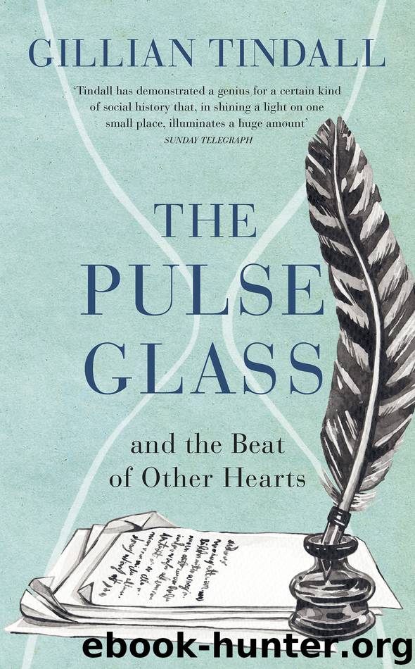
The Pulse Glass by Gillian Tindall

Author:Gillian Tindall
Language: eng
Format: epub
ISBN: 9781473566934
Publisher: Random House
I have already mentioned that the decorative plate, valued and preserved in the Camp-Montague household because some forgotten forebear had once given it to another, looks like a ‘fairing’ from the days when fields began just off the Mile End Road. By the latter half of the nineteenth century the old hamlets of Bethnal Green, Stepney Green, Poplar and Bow had acquired such an established character as London’s East End, perceived through the eyes of London further west as one monolithic, heavily built quarter of labour and poverty, that the old identities of these settlements were rapidly wiped from human memory. Yet that time was not so far distant. Even by the mid-century, when maps to celebrate London’s expansion, complete with miniature pictures of prestigious buildings, were produced to celebrate the Great Exhibition of 1851, and Stepney was dense with terrace housing, Bow, further east again, was still largely unbuilt. But the London map I prefer is a little-known one, published (with touching precision) ‘on January 1st 1818’ in Paternoster Row. It captures exactly the moment when the lanes around Mile End Road and St Dunstan’s Church by Stepney Green were becoming lined with houses. But the fields behind, which had been used for centuries for fairs, cattle-grazing, troop manoeuvres and rebellions, were still open to a sky not yet engulfed in London’s smoke.
There are some other reasons why I prize this map, although it is by far the most modest and tattered of the fairly extensive collection of maps that has accumulated in our house over the last fifty years. For one thing, it shows a world on the very brink of change. Since 1800 the London Dock at Wapping had been constructed, with plans indicated on the map for other basins towards Shadwell. The ‘Intended Line of the Regent’s Canal’ snakes around the whole of the eastern settlements near London from Islington and Hackney to distant Limehouse. The West India Docks still further east have also been opened, transforming for ever London’s parameters. The classic working-class world of dockyard employment must have been gearing up to overwhelm the district. Yet Stepney still, just, had pretensions to gentility; there were some grand houses there occupied by well-to-do people who had not yet sold up and moved westwards or southwards. The parish had not acquired one of the new-built ‘Waterloo churches’ that were subsidised by the government to celebrate the defeat of Napoleon (there was one down the road at Shadwell). However, it had its own brand-new ‘Trafalgar Square’ off ancient White Horse Lane, to celebrate the earlier victory of Nelson against the French fleet.
Another reason I value this map is that both it and the little cardboard case into which it neatly folds to a pocket-sized shape are extremely battered and fragile. Its folds are threatening to split: disintegration hovers. It is clear that, uncoloured, it was never meant for hanging on the wall, but for busy use around London. I imagine that it belonged to some energetic man
Download
This site does not store any files on its server. We only index and link to content provided by other sites. Please contact the content providers to delete copyright contents if any and email us, we'll remove relevant links or contents immediately.
Still Foolin’ ’Em by Billy Crystal(36343)
We're Going to Need More Wine by Gabrielle Union(19030)
Plagued by Fire by Paul Hendrickson(17400)
Pimp by Iceberg Slim(14476)
Molly's Game by Molly Bloom(14130)
Becoming by Michelle Obama(10016)
When Breath Becomes Air by Paul Kalanithi(8419)
Educated by Tara Westover(8042)
The Girl Without a Voice by Casey Watson(7877)
The Incest Diary by Anonymous(7676)
Note to Self by Connor Franta(7663)
How to Be a Bawse: A Guide to Conquering Life by Lilly Singh(7464)
The Space Between by Michelle L. Teichman(6923)
What Does This Button Do? by Bruce Dickinson(6194)
Imperfect by Sanjay Manjrekar(5869)
Permanent Record by Edward Snowden(5825)
A Year in the Merde by Stephen Clarke(5408)
Shoe Dog by Phil Knight(5252)
Promise Me, Dad by Joe Biden(5139)
