Maps by Rose Mitchell & Rose Mitchell & Andrew Janes
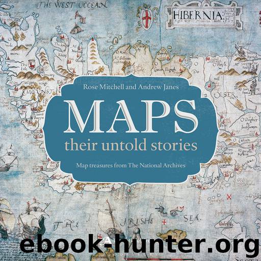
Author:Rose Mitchell & Rose Mitchell & Andrew Janes
Language: eng
Format: epub
ISBN: 9781408189696
Publisher: Bloomsbury Publishing
Published: 2014-06-24T16:00:00+00:00
CHAPTER FIVE
CHARTING THE SEAS
‘… THOU AT HOME, WITHOUT … TIDE OR GALE, CANST IN THY MAP SECURELY SAIL …’
Robert Herrick ’s verse evokes the delights afforded to armchair travellers by sea charts, which invite us to wander the waters of the globe, immune to the dangers and discomforts experienced by real-life sailors. In this chapter we sail across time and the oceans, to explore a range of possible things that can happen at sea – not all of them for the worse, although shipwreck, mutiny and pirates feature in these pages.
The British Isles are surrounded by seas, and a natural interest in sailing is reflected in the many charts in these archives. From earliest times, mariners carried maps in their minds, and from around the 14th century they began to commit these to parchment. A portolan chart from this era A medieval mariner’s compass shows the Mediterranean, crossed by navigational lines that were of practical help to sailors. The idea of capturing information for use on future voyages is also evident in the sea charts and coastal views with which naval officers illustrated their ships’ logs, from the late 17th century. An early example ‘Where ye Fire & Smoake cometh out’ is by Grenvill Collins, whose journals’ pages are crowded with drawings.
From the 16th century, charts were used in England to inform trade and defence policy. Examples here show the defensive capabilities of three ports: Plymouth (opposite), Tangier while it was briefly in British hands (The dowry of a queen), and the Russian stronghold of Kronstadt (Gates to St Petersburg). Other charts record battles at sea. Confined to cabin features an Elizabethan chart of Cadiz which shows how English ships made a daring raid upon Spain under Sir Francis Drake, while Nelson’s victory at the Battle of the Nile is the focus Battles of the Nile. Ships also conveyed troops overseas; a chart showing General Wolfe’s voyage up the St Lawrence River to action at Quebec is Sailing Wolfe to Quebec.
Not all of these charts are of English provenance, reflecting the of ten cut-and-thrust nature of life on the high seas, in times when the line between pirate and prize-taker was rather fine. In the mid-18th century during the Seven Years’ War, British captains captured many foreign ships as prizes – along with their charts; an example is Coffee with sugar: a captured French captain’s map. Other dangers abounded at sea, too. It was a shipwreck off the Isles of Scilly (see A shocking shipwreck) that sparked the Longitude Prize.
Download
This site does not store any files on its server. We only index and link to content provided by other sites. Please contact the content providers to delete copyright contents if any and email us, we'll remove relevant links or contents immediately.
Man-made Catastrophes and Risk Information Concealment by Dmitry Chernov & Didier Sornette(6005)
The Revenge of Geography: What the Map Tells Us About Coming Conflicts and the Battle Against Fate by Kaplan Robert D(4066)
Zero Waste Home by Bea Johnson(3833)
COSMOS by Carl Sagan(3617)
Good by S. Walden(3548)
In a Sunburned Country by Bill Bryson(3536)
The Fate of Rome: Climate, Disease, and the End of an Empire (The Princeton History of the Ancient World) by Kyle Harper(3055)
A Wilder Time by William E. Glassley(2858)
Camino Island by John Grisham(2794)
Organic Mushroom Farming and Mycoremediation by Tradd Cotter(2688)
The Ogre by Doug Scott(2679)
Human Dynamics Research in Smart and Connected Communities by Shih-Lung Shaw & Daniel Sui(2500)
Energy Myths and Realities by Vaclav Smil(2487)
The Traveler's Gift by Andy Andrews(2457)
9781803241661-PYTHON FOR ARCGIS PRO by Unknown(2365)
Inside the Middle East by Avi Melamed(2349)
Birds of New Guinea by Pratt Thane K.; Beehler Bruce M.; Anderton John C(2249)
A History of Warfare by John Keegan(2239)
And the Band Played On by Randy Shilts(2197)
