Trekking in the Alps by Kev Reynolds
Author:Kev Reynolds [Reynolds, Kev]
Language: eng
Format: epub
Tags: Hiking, Mountaineering, Non-Fiction, Outdoor Skills, Sports & Recreation, Walking
ISBN: 9781849653794
Google: 5OzDMWsr4BgC
Amazon: B007H60AJG
Publisher: Cicerone Press
Published: 2011-06-06T23:00:00+00:00
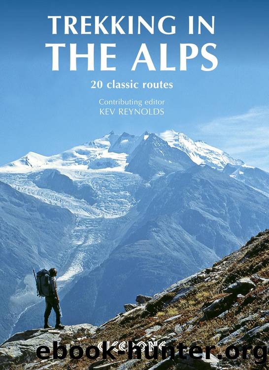
Col de Chaude is the final crossing on the APR, with Lac Léman 1200m below
Adelboden to Montreux
Out of Adelboden the way follows a river upstream towards its source, crossing and recrossing the Geilsbach before taking to woodland and higher pastures, and then adopting a minor road to reach the Hahnenmoospass at 1956m. After the efforts of the previous few days, this pass is reached (comparatively speaking) almost without breaking sweat. It’s well-known to skiers, and the berghotel on the pass offers not only refreshment, but beds and dormitory places for those who fancy a night with the Wildstrubel as a neighbour. For APR purposes, it is reached far too early in the day to consider settling down, so continue walking on a track that leads to a series of footpaths descending over romantic flower-rich hillsides shaded in part by linden trees, down to Lenk, a small resort and a choice centre for walking holidays in the upper Simmental.
Next day there are two passes to contend with. The first, the 2038m Trüttlisberg which leads to Lauenen, is gained via fairly steep woodland trails and meandering paths over grass slopes, while the much lower Krinnen Pass (1659m) is concealed among trees on a ridge running north of the Arpelistock. Neither crossing is difficult, and at this stage of the trek a two-pass day will not be too demanding. From the Krinnen Pass you drop down to Gsteig, nestling at the foot of Les Diablerets, the big limestone massif that effectively marks the western limit of the Bernese Alps, and below which the Alpine Pass Route turns more directly towards Lac Léman with the knowledge that there’s only two more full days of trekking left.
Those two days take you away from the big mountains, heading west from alp to alp through the pastoral country of Canton Vaud, a region that attracts little publicity and therefore remains virtually unknown to walkers from outside Switzerland. But that is not to suggest for one moment that it is uninteresting. In common with the first few stages of the trek, the final two provide balance and create an overall picture of the Swiss Alps that will never be realised by those whose holidays are focused forever on centres such as Grindelwald or Zermatt. These little-trod regions with their sudden exciting vistas help make the Alpine Pass Route an experience to treasure.
The first of those sudden vistas comes a little over two hours after leaving Gsteig when you arrive on the Blattipass. This 1900m saddle on a grass- and shrub-covered ridge is not even marked on most Swiss maps, yet the panorama it shows is one of the best of the whole APR. If you’re blessed with good weather the full length of the Bernese Alps is on show, from the Wetterhorn to Les Diablerets. It’s a view to absorb and savour.
After that another hour or so brings you to Col de Voré at 1910m; then you reach the 2304m Col des Andérets on a ridge marking the Rhône/Rhine watershed.
Download
This site does not store any files on its server. We only index and link to content provided by other sites. Please contact the content providers to delete copyright contents if any and email us, we'll remove relevant links or contents immediately.
Shoe Dog by Phil Knight(5407)
The Rules Do Not Apply by Ariel Levy(5099)
Walking by Henry David Thoreau(4085)
How to Read Water: Clues and Patterns from Puddles to the Sea (Natural Navigation) by Tristan Gooley(3583)
I'll Give You the Sun by Jandy Nelson(3568)
Running Barefoot by Amy Harmon(3530)
Crazy Is My Superpower by A.J. Mendez Brooks(3517)
How to Read Nature by Tristan Gooley(3467)
How Music Works by David Byrne(3393)
The Boy, the Mole, the Fox and the Horse by Charlie Mackesy(3315)
The Fight by Norman Mailer(3091)
Cuba by Lonely Planet(2752)
Seducing Cinderella by Gina L. Maxwell(2712)
Going Long by Editors of Runner's World(2445)
Accepted by Pat Patterson(2442)
The Unfettered Mind: Writings from a Zen Master to a Master Swordsman by Takuan Soho(2388)
Backpacker the Complete Guide to Backpacking by Backpacker Magazine(2325)
The Happy Runner by David Roche(2312)
Trail Magic by Trevelyan Quest Edwards & Hazel Edwards(2285)
