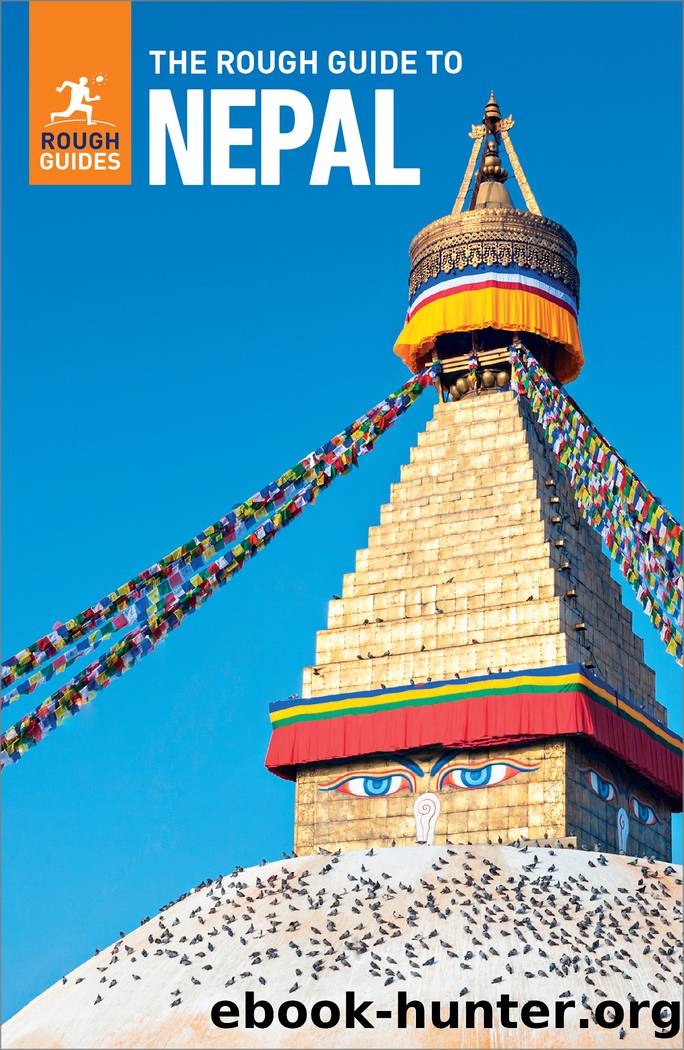
The Rough Guide to Nepal (Travel Guide with Free eBook) by Rough Guides

Author:Rough Guides
Language: eng
Format: epub
Tags: Travel, Nepal
Publisher: Apa Publications
Published: 2023-07-15T00:00:00+00:00
The Pokhara Valley
Day-trips around the Pokhara Valley make excellent training for a trek. Start early to make the most of the views before the clouds move in and the heat builds, and bring lunch and water. If youâre feeling adventurous, you can stay overnight at Sarangkot or Tashi Palkhel. Begnas Tal is a quiet, rural and utterly delightful alternative to Pokhara itself.
Trekking: the World Peace Stupa and beyond
The easiest approach to the World Peace Stupa (see page 191) is by trail from Damside. Cross the river on a footbridge just downstream of the dam, then follow the path as it bears left and passes a small shrine before beginning a gradual ascent up the back (south) side of the ridge. Donât take all your valuables or walk alone, and check with locals before leaving as there have been reports of robberies in the forest here. The way is somewhat obscure at first, but soon becomes a fine wide path through chestnut forest until the final ascent. The climb is steeper from Anadu, the village across the lake. If descending this way, you should have no trouble getting a canoe back to Lakeside.
To make an easy day-trip of the walk you can loop around Phewa Tal. From the stupa, keep walking along the ridge-line past Rani Ban Retreat and along a rough road to the village of Bhumdi, where another road descends to the highway and a trail leads down to the sluggish Harpan Khola at Pame, 3km upstream of Phewa Tal. For a longer hike, continue further west beyond Bhumdi to the end of the road before descending to the Harpan Khola.
A superb two-day trek offering supreme views climbs on from Bhumdi up to Panchaase Daada, the prominent forested ridge west of Phewa Tal. From the top of the path, a trail follows the ridge northwest to Panchaase Bhanjyang, where you can stay at one of a handful of basic lodges. The next morning, continue up to the high point of the ridge (2509m) and on north to Bhadaure and the Baglung Highway, where you can pick up a bus past Naudanda back to Pokhara. Very few foreigners venture into this area, so a good map or knowledgeable guide is recommended.
Download
This site does not store any files on its server. We only index and link to content provided by other sites. Please contact the content providers to delete copyright contents if any and email us, we'll remove relevant links or contents immediately.
China Rich Girlfriend by Kwan Kevin(3896)
The Silk Roads by Peter Frankopan(3763)
Annapurna by Maurice Herzog(2842)
Hot Thai Kitchen by Pailin Chongchitnant(2814)
Full Circle by Michael Palin(2773)
Okonomiyaki: Japanese Comfort Food by Saito Yoshio(2391)
City of Djinns: a year in Delhi by William Dalrymple(2136)
The Ogre by Doug Scott(2115)
Photographic Guide to the Birds of Indonesia by Strange Morten;(2089)
Tokyo by Rob Goss(2018)
Vietnam, Cambodia, Laos & Northern Thailand by Lonely Planet(2015)
Tokyo Geek's Guide: Manga, Anime, Gaming, Cosplay, Toys, Idols & More - The Ultimate Guide to Japan's Otaku Culture by Simone Gianni(1947)
Discover China Travel Guide by Lonely Planet(1866)
Everest the Cruel Way by Joe Tasker(1827)
China (Lonely Planet, 11th Edition)(1798)
Lonely Planet China(1757)
China Travel Guide by Lonely Planet(1741)
Top 10 Dubai and Abu Dhabi by DK Travel(1717)
Iranian Rappers And Persian Porn by Maslin Jamie(1710)
