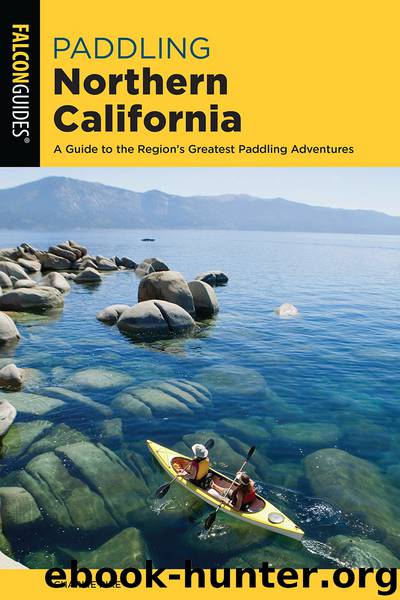
Paddling Northern California by Charles Pike

Author:Charles Pike
Language: eng
Format: epub
ISBN: 9781493043590
Publisher: Falcon Guides
Length: 19 miles
Average paddling time: About 8 hours, usually spread over 2 days
Difficulty: Class II whitewater; intermediate whitewater skills required
Rapids: Numerous Class II rapids
Average gradient: 18 feet per mile
Optimal flow: North Fork, at least 100 cfs; Cache Creek, at least 400 cfs
Flow gauge: Indian Valley release and Rumsey
Water source: Clear Lake and Indian Valley Reservoir
Best season: Spring, summer, and winter
Land status: Mixed Bureau of Land Management (BLM) and private, Yolo County
Fees: Fees at parks
Maps: USGS Lower Lake, Wilson Valley, Glascock Mountain; BLM Redbud Trail, Ridge Trail, Cache Creek South
Craft: Canoes, kayaks, inflatables, including small rafts
Contacts: Cache Creek Regional Park—Yolo County Parks Division: (530) 406-4880; yolocounty.org. BLM Ukiah Field Office (regarding federal lands bordering Cache Creek): (707) 468-4000.
Special considerations: Because of the remote backcountry wilderness location, help is far off and you must be self-sufficient. The road to Buck Island has been blocked at CA 16. Cache Creek has the hazards of brush, strainers, and rocks, as well as some bears. Be extremely careful with fire—the wildfire hazard is extremely high all summer and autumn.
Download
This site does not store any files on its server. We only index and link to content provided by other sites. Please contact the content providers to delete copyright contents if any and email us, we'll remove relevant links or contents immediately.
Sea Survival Handbook by Keith Colwell(1793)
Fatal Storm by Rob Mundle(1785)
Deep by James Nestor(1782)
Breath by James Nestor;(1758)
The River by Peter Heller(1695)
Lonely Planet Australia by Lonely Planet(1671)
Discover Australia by Lonely Planet(1584)
Iced In by Chris Turney(1578)
Lonely Planet Maldives (Travel Guide) by Planet Lonely & Masters Tom(1425)
One Girl One Dream by Dekker Laura(1355)
Ten Degrees of Reckoning: The True Story of a Family's Love and the Will to Survive by Hester Rumberg(1345)
Looking for a Ship by John McPhee(1319)
Lonely Planet Australia (Travel Guide) by Lonely Planet & Lonely Planet(1308)
Chicken Soup for the Ocean Lover's Soul by Jack Canfield(1289)
South with the Sun by Lynne Cox(1221)
The Wave In Pursuit of the Rogues, Freaks and Giants of the Ocean(1216)
Marlinspike Sailor's Arts and Crafts by Barbara Merry(1207)
Diver Down by Michael Ange(1193)
The Golden Rules: 10 Steps to World-Class Excellence in Your Life and Work by Bob Bowman & Charles Butler(1159)
