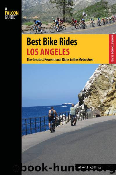
Best Bike Rides Los Angeles by Wayne D. Cottrell

Author:Wayne D. Cottrell
Language: eng
Format: epub
ISBN: 9781493014712
Publisher: Falcon Guides
22
Emerald Necklace Cruise
Start: Whittier Narrows Recreation Area (northwest region, off Rosemead Boulevard north of SR 60)
Length: 35.5 miles (figure 8—two connected clockwise and counterclockwise loops)
Riding time: 1.75 to 5 hours (my time: 2H11:10)
Terrain and surface: 70% on paved bicycle paths; 30% on paved roads
Elevation: Low: 210 feet at San Gabriel and Rosemead Boulevards (SR 19); high: 827 feet at end of San Gabriel River Bikeway in Azusa
Traffic and hazards: California Avenue carried 8,595 vehicles per day through Mayflower Village in 2012.
Map: The Thomas Guide—Street Guide: Los Angeles and Orange Counties (any recent year), page 636
Getting there: By car—From central Los Angeles, take I-10 East or US 101 South to SR 60 East. Exit at Rosemead Boulevard (SR 19) and turn left. Look for the entrance to Whittier Narrows Recreation Area on the left. Enter the park and find parking.
By public transit—From central Los Angeles, ride Metro bus route 70 to Rosemead Boulevard in El Monte. Transfer to Metro bus route 266. Exit at Whittier Narrows Recreation Area and enter the park (to your right). Turn right and follow the park road (Cortez Drive) to the “back side” of the park (Loma Avenue), where the ride begins. Route 70 runs every 10 to 20 minutes daily; route 266 runs every 30 to 45 minutes daily.
Starting point coordinates: N34.050664° / W118.068719°
Download
This site does not store any files on its server. We only index and link to content provided by other sites. Please contact the content providers to delete copyright contents if any and email us, we'll remove relevant links or contents immediately.
Annapurna by Maurice Herzog(2839)
Liar's Poker by Michael Lewis(2811)
A Forest Journey by John Perlin(2587)
Atlas Obscura by Joshua Foer(2350)
Cuba by Lonely Planet(2184)
The Ogre by Doug Scott(2114)
Photographic Guide to the Birds of Indonesia by Strange Morten;(2088)
Tokyo by Rob Goss(2018)
All Things Reconsidered by Bill Thompson III(1960)
A TIME OF GIFTS by Patrick Leigh Fermor(1847)
DK Eyewitness Top 10 Travel Guides Orlando by DK(1814)
Abbey in America by Murray John A(1801)
Fatal Storm by Rob Mundle(1787)
The Splendid and the Vile by Erik Larson(1782)
Trail Magic by Trevelyan Quest Edwards & Hazel Edwards(1760)
INTO THE WILD by Jon Krakauer(1724)
Top 10 Dubai and Abu Dhabi by DK Travel(1716)
Touching the Void by Joe Simpson(1706)
Lonely Planet Australia by Lonely Planet(1676)
