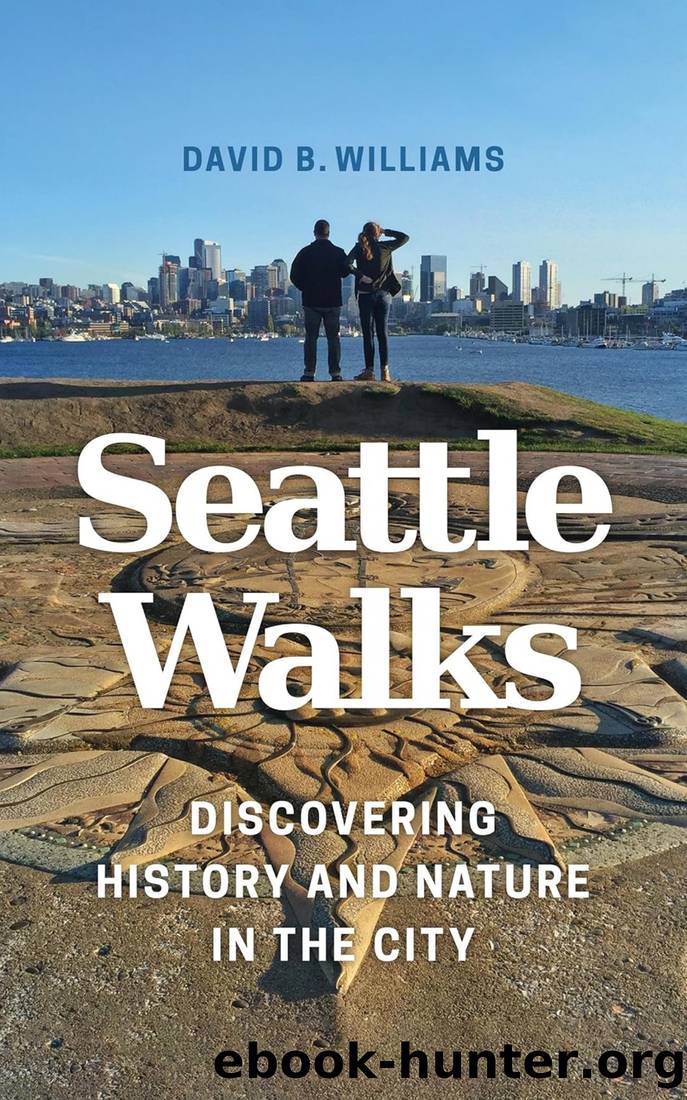
Seattle Walks: Discovering History and Nature in the City by David B. Williams

Author:David B. Williams [Williams, David B.]
Language: eng
Format: epub
Tags: Travel, Special Interest, Hikes & Walks, History, United States, State & Local, Pacific Northwest (OR; WA)
ISBN: 9780295741284
Google: l1VCDgAAQBAJ
Amazon: 0295741287
Publisher: University of Washington Press
Published: 2017-03-15T00:00:00+00:00
Continue east on Ravenna Boulevard to Brooklyn Avenue NE.
4 At this point, the subterranean, six-foot-diameter North Trunk Sewer pipe carrying Ravenna Creek continues southeast under the ridge that begins to rise to the east and descends to a connector near what is now University Village. Contractors initially attempted to dig the pipeâs underground route through the 17th Avenue ridge with a boring machine, which worked on roughly the same principle as its much larger, modern descendant, Bertha. However, this first-ever attempt at tunnel boring in Seattle failed because of mechanical problems. The contractor then came up with the novel solution of digging the tunnel by hand with picks and shovels and lining it with brick. Workers advanced through the ridge averaging about 50 feet per week.
Turn left and enter Cowen Park at NE 61st Street.
5 Real estate developer Charles Cowen donated 12 acres of land to the city for this park in 1906. He is honored by a sign on the parkâs gates at University Way NE. Originally dominated by a ravine with a meandering Ravenna Creek, the park changed substantially in 1960 with the addition of 100,000 cubic yards of fill from the construction of I-5. Although many neighbors approved of eliminating the ravine, which they thought was the âbiggest nest for juvenile delinquency in the city,â others called the filling of the ravine âoutrageous.â
Follow the dirt and gravel path in Cowen Park that curves left, or north, down and into the Ravenna Park ravine until you are under the high concrete bridge. (Numerous signed trails run through the park. This route takes you along the main trail in the bottom of the ravine.)
6 A two-level wooden pedestrian bridge formerly crossed the Ravenna ravine at 15th Avenue NE. The bridge above you, which marks the boundary between Cowen and Ravenna Parks, was built as a Works Progress Administration project in 1936 and reflects the Art Deco aesthetic of the era. The apex of the graceful arch is 60 feet above the creek. Farther east is the 20th Avenue Bridge, built in 1913â14 for about $55,000. It was closed to motor vehicles in 1975 after engineers determined it needed costly upgrades for continued automobile traffic. Both bridges are city landmarks.
Ravenna Creek follows a route that is a bit anomalous in Seattle. The cityâs predominant topographic features are northâsouth trending ridges and troughs that developed during the last ice age. (For more information, see Walk 12.) In contrast, Ravenna Creek and the nearby Lake Washington Ship Canal cut against the grain in northwestâsoutheast trending channels. Geologists propose that the waterways follow topographic lows that developed under the ice and were then enlarged by water at the base of the glacier. Why the channels trend the way they do is less clear. They could mirror either an unrecognized tectonic structure or a deeply buried structure in the bedrock, but there is no undisputed evidence for either structure. No matter what caused the ravine that Ravenna Creek follows through Ravenna Park, it formed one of the great geological curiosities of our local topography.
Download
This site does not store any files on its server. We only index and link to content provided by other sites. Please contact the content providers to delete copyright contents if any and email us, we'll remove relevant links or contents immediately.
| General | Mount Rainier |
| Mount St. Helens | North Cascades |
| Olympic Peninsula | San Juan Islands |
| Seattle | Spokane |
Giovanni's Room by James Baldwin(5882)
The Plant Paradox by Dr. Steven R. Gundry M.D(2040)
The Stranger in the Woods by Michael Finkel(1925)
Miami by Joan Didion(1882)
DK Eyewitness Top 10 Travel Guides Orlando by DK(1814)
Vacationland by John Hodgman(1776)
Trail Magic by Trevelyan Quest Edwards & Hazel Edwards(1761)
Wild: From Lost to Found on the Pacific Crest Trail by Cheryl Strayed(1739)
INTO THE WILD by Jon Krakauer(1725)
The Twilight Saga Collection by Stephenie Meyer(1721)
Nomadland by Jessica Bruder(1685)
Birds of the Pacific Northwest by Shewey John; Blount Tim;(1605)
Portland: Including the Coast, Mounts Hood and St. Helens, and the Santiam River by Paul Gerald(1582)
The Last Flight by Julie Clark(1494)
On Trails by Robert Moor(1478)
Deep South by Paul Theroux(1475)
Trees and Shrubs of the Pacific Northwest by Mark Turner(1427)
Blue Highways by William Least Heat-Moon(1377)
1,000 Places to See in the United States and Canada Before You Die (1,000 Places to See in the United States & Canada Before You) by Patricia Schultz(1294)
