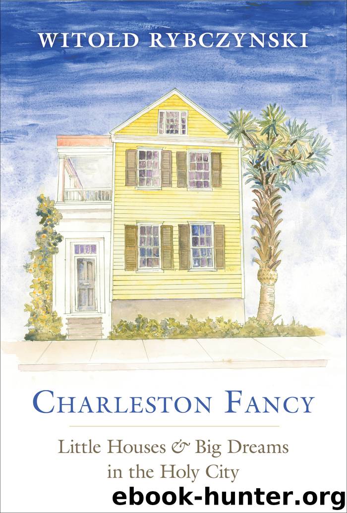
Charleston Fancy by Witold Rybczynski

Author:Witold Rybczynski [Rybczynski, Witold]
Language: eng
Format: epub
ISBN: 9780300243833
Publisher: Yale University Press
Published: 2019-05-15T04:00:00+00:00
* Kentlands was eventually completed. It was so successful that it gave rise to a second traditional development next door, Lakelands.
** The density of the original plan of I’On was similar to Charleston’s historic district, about five units per acre. Tully Alley, with its tiny houses and narrow lanes, is about ten units per acre.
TEN
Townscapes
Vince starts a new project; George lays out
a medieval neighborhood; Andrew designs
a mountain village
The property that Vince had his eye on was in North Charleston, only three miles up the Cooper River. Originally called the North Area, the land had been strictly agricultural until 1895, when the Charleston city council, in a rush of civic high-mindedness, bought a long-neglected rice plantation—six hundred acres—to turn into a rural park for day-tripping townspeople. Such alternatives to urban parks were not uncommon in the late nineteenth century; in the 1880s, Frederick Law Olmsted had laid out a Lido-like park outside Detroit on Belle Isle. Olmsted had since retired and left his practice in the hands of John Charles and Frederick, Jr., his stepson and son, and it was their firm, Olmsted Brothers, that Charleston commissioned to design its park. The Olmsteds’ report to the Charleston city council extolled the virtues of the site: “The views over the river, and its bordering salt meadows and distant woods, are very beautiful. … There exist many grand old live oaks, which are alone worth the trouble of a trip from the city to see.” In addition to preserving the live oaks and the surrounding pine woods, and laying out the usual walks, bridle paths, and carriage drives, the Olmsteds converted the abandoned rice fields into a network of saltwater lagoons for pleasure boating. Their plan included a nursery, an athletic field, and a promenade along the river, as well as a program to control malarial mosquitoes. Chicora Park, as it was called, would be linked to the city by an existing trolley line, and a future parkway was part of the plan.*
Construction started immediately and progress was rapid. In their 1900 report, the park commissioners described tree planting, path and roadway building, and lagoon construction. A gardener’s cottage and the keeper’s lodge were completed and work was about to start on converting the plantation house into an inn. Yet the following year, learning that the Navy Department was considering establishing a shipyard in the region, a new city council, eager to attract industry, changed course and sold the property to the federal government. That was the end of Chicora Park.** The Navy filled in the lagoons, replaced the plantation house with an administrative building, and built officers’ quarters among the live oaks. Along the riverbank it erected piers, ship berths, and the largest dry dock on the eastern seaboard.
As the city fathers hoped, the presence of a shipyard and the attendant industrial activities stimulated economic growth. In 1912, hoping to capitalize on this bounty, a group of Charleston businessmen founded the North Charleston Development Corporation. The corporation acquired five thousand acres of forestland immediately to the north of the shipyard and hired P.
Download
This site does not store any files on its server. We only index and link to content provided by other sites. Please contact the content providers to delete copyright contents if any and email us, we'll remove relevant links or contents immediately.
Kathy Andrews Collection by Kathy Andrews(11767)
The remains of the day by Kazuo Ishiguro(8895)
Spare by Prince Harry The Duke of Sussex(5142)
Paper Towns by Green John(5141)
The Body: A Guide for Occupants by Bill Bryson(5033)
Industrial Automation from Scratch: A hands-on guide to using sensors, actuators, PLCs, HMIs, and SCADA to automate industrial processes by Olushola Akande(5027)
Machine Learning at Scale with H2O by Gregory Keys | David Whiting(4262)
Be in a Treehouse by Pete Nelson(3999)
Never by Ken Follett(3885)
Harry Potter and the Goblet Of Fire by J.K. Rowling(3810)
Goodbye Paradise(3766)
Into Thin Air by Jon Krakauer(3350)
The Remains of the Day by Kazuo Ishiguro(3348)
Fairy Tale by Stephen King(3310)
The Cellar by Natasha Preston(3299)
The Genius of Japanese Carpentry by Azby Brown(3256)
120 Days of Sodom by Marquis de Sade(3227)
The Man Who Died Twice by Richard Osman(3042)
Drawing Shortcuts: Developing Quick Drawing Skills Using Today's Technology by Leggitt Jim(3040)
