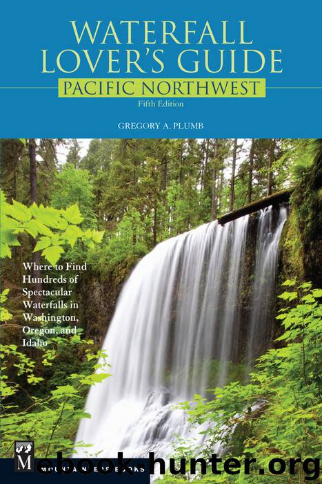
Waterfall Lover's Guide Pacific Northwest by Gregory Plumb

Author:Gregory Plumb
Language: eng
Format: epub
ISBN: 9781594857546
Publisher: Mountaineers Books
Published: 2013-04-05T04:00:00+00:00
4 YEON STATE PARK
John B. Yeon State Park is a day-use area located next to the east end of the
Historic Columbia River Highway, just before the juction with Interstate 84 at Exit 37.
ELOWAH FALLS
MAGNITUDE: 83
APPROACH: Trail (fairly easy)
ELEVATION: 400 feet
LAT/LONG: 45.611794º N / 121.994606º W
WATERSHED: Small
USGS MAP: Tanner Butte (1994)
McCord Creek plummets 289 feet within John B. Yeon State Park. A committee of the Mazamas, an outdoor recreation association, named the falls in 1915. Begin on Gorge Trail 400, turning left at the first trail junction. A second junction occurs 0.2 mile from the parking area. For an aerial view of the falls, turn right on Elowah Falls Trail and take this moderately steep route 0.6 mile. To reach the base of the falls, stay on Trail 400 for 0.4 mile.
UPPER MCCORD CREEK FALLS
MAGNITUDE: 39 (l)
APPROACH: Trail (fairly hard)
ELEVATION: 480 feet
LAT/LONG: 45.611269º N / 121.994284º W
WATERSHED: Small
USGS MAP: Tanner Butte (1994 nl)
McCord Creek tumbles 100 to 125 feet. Continue 0.2 mile past the upper viewpoint of Elowah Falls (described earlier) to the end of Elowah Falls Trail.
Download
This site does not store any files on its server. We only index and link to content provided by other sites. Please contact the content providers to delete copyright contents if any and email us, we'll remove relevant links or contents immediately.
Giovanni's Room by James Baldwin(6814)
The Plant Paradox by Dr. Steven R. Gundry M.D(2430)
The Stranger in the Woods by Michael Finkel(2330)
Miami by Joan Didion(2166)
Wild: From Lost to Found on the Pacific Crest Trail by Cheryl Strayed(2134)
INTO THE WILD by Jon Krakauer(2086)
Trail Magic by Trevelyan Quest Edwards & Hazel Edwards(2063)
DK Eyewitness Top 10 Travel Guides Orlando by DK(2058)
Vacationland by John Hodgman(2033)
The Twilight Saga Collection by Stephenie Meyer(2029)
Nomadland by Jessica Bruder(1960)
Birds of the Pacific Northwest by Shewey John; Blount Tim;(1876)
The Last Flight by Julie Clark(1833)
Portland: Including the Coast, Mounts Hood and St. Helens, and the Santiam River by Paul Gerald(1820)
On Trails by Robert Moor(1794)
Deep South by Paul Theroux(1718)
Blue Highways by William Least Heat-Moon(1664)
Trees and Shrubs of the Pacific Northwest by Mark Turner(1645)
1,000 Places to See in the United States and Canada Before You Die (1,000 Places to See in the United States & Canada Before You) by Patricia Schultz(1558)
