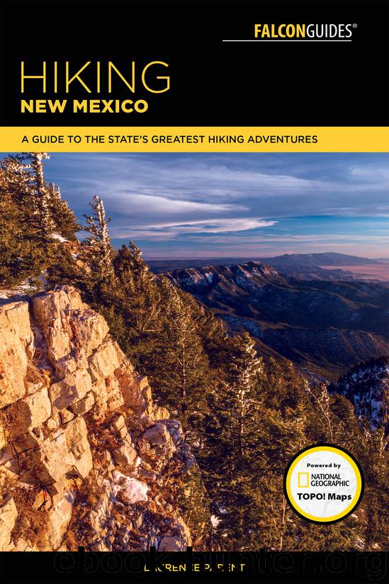
Hiking New Mexico by Laurence Parent

Author:Laurence Parent
Language: eng
Format: epub
ISBN: 9781493031108
Publisher: Falcon Guides
Published: 2018-03-27T04:00:00+00:00
THE HIKE
The North Baldy Trail was the last hike that I did for the first edition of this guidebook. The Magdalena Mountains are beautiful, but little traveled. I highly recommend spending some time in these mountains.
The Magdalena Mountains are a fairly small range in area, but with a top elevation of 10,783 feet, they are the third-highest range in southern New Mexico. The mountains rise abruptly from the surrounding grassy plains. Numerous old mines, most long abandoned, lie scattered throughout the mountains. The old ghost town of Kelly, on the north side of the range, boomed and died intermittently until the last few mines closed in the 1950s.
FR 235 continues only a short distance beyond the trailhead and goes to the Langmuir Laboratory for Atmospheric Research and the relatively new Magdalena Ridge Observatory. Langmuir Laboratory, operated by New Mexico Tech, specializes in lightning and thunderstorm studies. The observatory specializes in astronomical research and is the fourth-highest observatory in the world at 10,600 feet.
The hike starts on Trail 8 at the sign on the right side of the road. It climbs steeply uphill to the left from the parking area. The trail is lightly used and tends to fade out in open grassy areas such as the slope above the trailhead. Follow the marker arrow on the sign just up the slope from the trailhead. Rock cairns help mark the way. Do not let the short, steep, thin-air climb above the trailhead discourage you; most of the rest of the trail is easier. At the crest of the ridge, still in view of your car, you hit the highest point of the hike. From the ridge, the now clearly visible trail drops down the other side into lush spruce and fir forest. The trail soon pops out onto a meadow on the long north–south crest of the range.
The rest of the trail follows the crest all the way to North Baldy. Beware of lightning on this exposed hike, especially on summer afternoons. Most of the trail consists of long, level stretches with occasional downhill sections to the low point at the saddle below North Baldy. The little-used trail tends to fade out in the occasional open grassy saddles and hilltops, particularly near North Baldy. Just keep following the crest and sooner or later you will find the trail again. Rock cairns and tree blazes will help.
When you first hit the crest, in an open meadow, the trail makes a switchback down the west slope before continuing north through the woods just below the crest. It is easy to miss the faint switchback; if you do, just follow the faint trail on the very top of the crest that was made by other people who missed the proper trail. At about 1 mile the two routes rejoin in a large grassy saddle. A sign marks Trail 10 forking down off the crest to the right. Continue north through the grass along the crest, watching carefully for cairns until the trail reenters the forest.
Download
This site does not store any files on its server. We only index and link to content provided by other sites. Please contact the content providers to delete copyright contents if any and email us, we'll remove relevant links or contents immediately.
Giovanni's Room by James Baldwin(7320)
The Plant Paradox by Dr. Steven R. Gundry M.D(2608)
The Stranger in the Woods by Michael Finkel(2518)
Miami by Joan Didion(2364)
Wild: From Lost to Found on the Pacific Crest Trail by Cheryl Strayed(2250)
INTO THE WILD by Jon Krakauer(2195)
Trail Magic by Trevelyan Quest Edwards & Hazel Edwards(2177)
DK Eyewitness Top 10 Travel Guides Orlando by DK(2173)
Vacationland by John Hodgman(2127)
The Twilight Saga Collection by Stephenie Meyer(2122)
Nomadland by Jessica Bruder(2058)
Birds of the Pacific Northwest by Shewey John; Blount Tim;(1962)
The Last Flight by Julie Clark(1953)
Portland: Including the Coast, Mounts Hood and St. Helens, and the Santiam River by Paul Gerald(1913)
On Trails by Robert Moor(1891)
Deep South by Paul Theroux(1828)
Blue Highways by William Least Heat-Moon(1770)
Trees and Shrubs of the Pacific Northwest by Mark Turner(1715)
1,000 Places to See in the United States and Canada Before You Die (1,000 Places to See in the United States & Canada Before You) by Patricia Schultz(1645)
