Scenic Driving Atlantic Canada by Chloe Ernst
Author:Chloe Ernst
Language: eng
Format: epub
ISBN: 9781493036080
Publisher: Globe Pequot Press
Published: 2019-03-10T16:00:00+00:00
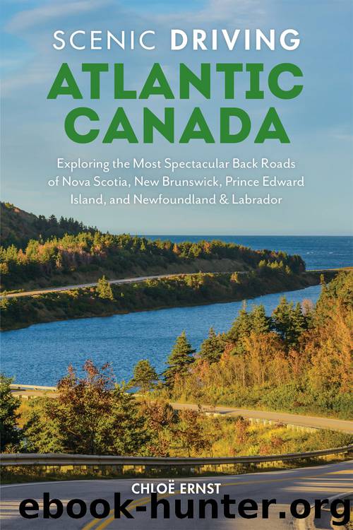
Ingonish Beach to Cape North
The Cabot Trail cuts inland after the provincial park and descends to near sea level at Ingonish Ferry and Ingonish Beach. Fuel up here so you can explore side roads without being concerned about running out of gas.
Here you enter the eastern side of Cape Breton Highlands National Park and the official start of this scenic drive. A small visitor center off the main route sells park passes (mandatory for stopping at lookouts, beaches, or trails) and provides details on guided hikes, facilities, and safety. Accommodations are nearby, including a national park campground and (tipping the other end of the scale) the golf course, spa, and luxury accommodations at Keltic Lodge.
From Ingonish Beach, the Cabot Trail travels 115 kilometers (71.5 miles) to Chéticamp on the western side. The extra journey to Meat Cove adds an additional 58 kilometers (36 miles).
These sound like short distances, but consider this: Over those kilometers you’ll round hairpin turns, climb and descend hills, picnic on beaches, hike to lookouts, and spot wildlife. Allow one full day at an absolute minimum; two, three, or more if you plan on activities such as hiking, whale watching, or swimming. The park boundaries end at residential areas, which they do here as you pass the community of Ingonish.
Reentering the park, the Cabot Trail quickly unveils more stunning views, especially as the road sits on the edge of the park, looking out over the Atlantic. Broad Cove, where there is a campground, is the first of many inlets, points, and beaches along the shore. Driving counterclockwise around the Cabot Trail makes it easier to pull over and enjoy the mountains-meet-ocean views. Bluffs and coves add beautiful curves to the coast and make for a fun drive.
The Cape Breton Highlands formed millions of years ago. The eastern Ingonish side is largely granite, an intrusive igneous rock. But faults through the center of the national park have also created a geological mix dating to the Precambrian, Ordovician to Devonian, and Devonian to Early Carboniferous periods. Only Chéticamp shows the red sandstone of the late Carboniferous period, and is some of the youngest rock at 320 to 286 million years old. The late Carboniferous period also produced the major coal deposits in Cape Breton Island’s Glace Bay, as well as elsewhere in the province in Stellarton and Springhill.
It’s possible to stop almost every kilometer of this route to admire the scenery from a new vantage. But before spontaneously pulling over, watch for cyclists who are bravely pedaling up the hills.
Moose warning signs persist throughout the park. Although moose were wiped out in Cape Breton by 1924, Parks Canada reintroduced them with 18 animals from Alberta in the late 1940s. The moose refound their footing, and there are now about 2 animals per square kilometer (about 5 per square mile). Because the moose in Cape Breton descended from the Alberta animals, they are different subspecies from Nova Scotia’s mainland moose, which is listed as endangered.
The pretty Black Brook Beach makes a good stop for a swim or hike.
Download
This site does not store any files on its server. We only index and link to content provided by other sites. Please contact the content providers to delete copyright contents if any and email us, we'll remove relevant links or contents immediately.
Goodbye Paradise(3952)
Atlas Obscura by Joshua Foer(3042)
Tokyo by Rob Goss(2528)
Borders by unknow(2420)
Lonely Planet New York City by Lonely Planet(2289)
DK Eyewitness Top 10 Travel Guides Orlando by DK(2248)
Top 10 Dubai and Abu Dhabi by DK Travel(2174)
Rick Steves London 2018 by Rick Steves & Gene Openshaw(1947)
Tomb of the Panzerwaffe: The Defeat of the Sixth SS Panzer Army in Hungary 1945 by Aleksei Isaev & Maksim Kolomiets(1900)
Dirt by Bill Buford(1775)
The Path Between the Seas by David McCullough(1726)
the fault in our stars by john green(1670)
Atlas of Improbable Places by Travis Elborough(1586)
Tokyo on Foot by Florent Chavouet(1562)
The Travels by Marco Polo(1561)
The Lives of Conn Smythe by Kelly McParland(1553)
Need by Unknown(1534)
The Lord of the Rings: The Fellowship of the Ring, the Two Towers, the Return of the King by J. R. R. Tolkien(1504)
Still Alice by Lisa Genova(1491)
