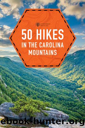
50 Hikes in the Carolina Mountains by Johnny Molloy

Author:Johnny Molloy
Language: eng
Format: epub
Publisher: The Countryman Press
Published: 2021-02-12T00:00:00+00:00
25
Mount Sterling
TOTAL DISTANCE: 5.4-mile there-and-back
HIKING TIME: 2:45
VERTICAL RISE: 1,940 feet
RATING: Moderate, does have extended climb
MAPS: National Geographic #229 Great Smoky Mountains National Park, USGS 7.5â Waterville NCâTN
TRAILHEAD GPS COORDINATES: N35°42'00.8", W83°05'51.0"
CONTACT INFORMATION: Great Smoky Mountains National Park, 107 Park Headquarters Road, Gatlinburg, TN 37738, (865) 436-1200, nps.gov/grsm
Mount Sterling is a Smoky Mountains icon, a must-visit destination, featuring a fire tower with 360-degree views from the parkâs eastern end, as well as a backcountry campsite ensconced in the spruce-fir evergreen forests that cloak the highest mantles of the Southern Appalachians. Make your climb to the tower from historic Mount Sterling Gap, winding up the east slope of Mount Sterling Ridge. Enter the high country and climb the Mount Sterling tower, perched at a 5,842-foot elevation.
Download
This site does not store any files on its server. We only index and link to content provided by other sites. Please contact the content providers to delete copyright contents if any and email us, we'll remove relevant links or contents immediately.
Indians on Vacation by Thomas King(507)
Bill Bailey's Remarkable Guide to British Birds by Bailey Bill(459)
The Outdoor Knots Book by Clyde Soles(431)
Lonely Planet's Ultimate Travel by Lonely Planet(425)
The World's Greatest Mountain Ranges - Geography Mountains Books for Kids | Children's Geography Book by Baby Professor(396)
New England Skiing by E. John B. Allen(375)
Best Climbs Los Angeles by Damon Corso(368)
South From Granada by Gerald Brenan(366)
Hebrides by Peter May & David Wilson(358)
Hiking Oklahoma by Jamie Fleck(343)
Fodor’s Bahamas by Fodor’s Travel Guides(337)
Baseball in Tampa Bay by A.M. de Quesada(318)
100 Great Wildlife Experiences by Fair James D.;(313)
A Coney Island Reader by Louis J. Parascandola(301)
Sport by Grand Scott(300)
Desolation Wilderness and the South Lake Tahoe Basin by Jeffrey P. Schaffer(298)
Fodor’s Oregon by Fodor’s Travel Guides(297)
Hikertrash: Life on the Pacific Crest Trail by Erin Miller(296)
Hamish's Mountain Walk by Hamish Brown(293)
