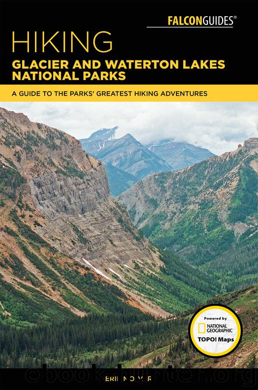
Hiking Glacier and Waterton Lakes National Parks by Erik Molvar

Author:Erik Molvar
Language: eng
Format: epub
ISBN: 9781493031498
Publisher: Falcon Guides
Published: 2018-03-27T04:00:00+00:00
MILES AND DIRECTIONS
0.0 Trail sign. Trail follows the north shore of Two Medicine Lake.
3.3 Junction with Dawson Pass Trail. Turn left for Upper Two Medicine.
3.5 Spur trail to upper boat dock. Boat users enter the trail here. Trail runs southwest, ascending almost imperceptibly.
4.8 Upper Two Medicine Lake and Campground.
29 DAWSON-PITAMAKAN
WHY GO?
A day hike or backpack from Two Medicine Campground to Dawson Pass, 6.7 miles (10.8 km) one-way; from upper boat dock to Dawson Pass, 3.2 miles (5 km) one-way; loop from Two Medicine Campground, 18.8 miles (30 km); or loop from upper boat dock, 16.3 miles (26 km).
THE RUNDOWN
See map on page 91.
Elevation gain: 2,935 feet
Elevation loss: 2,935 feet
Maximum elevation: 8,099 feet
Difficulty: Moderately strenuous
Topo maps: Squaw Mountain, Mount Rockwell, Cut Bank Pass
Download
This site does not store any files on its server. We only index and link to content provided by other sites. Please contact the content providers to delete copyright contents if any and email us, we'll remove relevant links or contents immediately.
In a Sunburned Country by Bill Bryson(2951)
Annapurna by Maurice Herzog(2846)
How to Read Nature by Tristan Gooley(2668)
Dangerous Girls by Haas Abigail(2480)
The Lost Art of Reading Nature's Signs by Tristan Gooley(2288)
SAS Survival Handbook by John 'Lofty' Wiseman(2265)
In the Woods by Tana French(2005)
Food and Water in an Emergency by Food & Water In An Emergency(1994)
The Stranger in the Woods by Michael Finkel(1929)
Guns, Germs and Steel by Diamond Jared(1889)
Everest the Cruel Way by Joe Tasker(1829)
Backpacker the Complete Guide to Backpacking by Backpacker Magazine(1819)
Sea Survival Handbook by Keith Colwell(1797)
Ultimate Navigation Manual by Lyle Brotherton(1770)
Trail Magic by Trevelyan Quest Edwards & Hazel Edwards(1763)
Wild: From Lost to Found on the Pacific Crest Trail by Cheryl Strayed(1746)
Birds of the Pacific Northwest by Shewey John; Blount Tim;(1608)
Welcome to the Goddamn Ice Cube by Blair Braverman(1604)
Portland: Including the Coast, Mounts Hood and St. Helens, and the Santiam River by Paul Gerald(1583)
