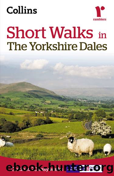
Short walks in the Yorkshire Dales by Collins Maps

Author:Collins Maps
Language: eng
Format: epub
Tags: Short Walks in The Yorkshire Dales
ISBN: 9780007555055
Publisher: HarperCollins Publishers
Published: 2011-06-05T16:00:00+00:00
Follow a signposted footpath to Shaws, the tree-sheltered white house high on the hillside. 120yds (110m).
Shaws stands above a narrow ravine filled by an attractive natural water garden.
Turn left over the bridge. Then bear right above the house. Follow a faint path up the hillside for another 120yds (110m).
Climb a stone stile and turn left along the moorland track. 1½ miles (2.4km).
The High Way is an old coach road which formerly linked York and Carlisle. The track mostly follows the north side of Wensleydale and can be difficult to trace in places. In its lower reaches below Askrigg, it is now the basis of the modern road.
Download
This site does not store any files on its server. We only index and link to content provided by other sites. Please contact the content providers to delete copyright contents if any and email us, we'll remove relevant links or contents immediately.
In a Sunburned Country by Bill Bryson(3528)
Annapurna by Maurice Herzog(3463)
How to Read Nature by Tristan Gooley(3326)
Dangerous Girls by Haas Abigail(3026)
SAS Survival Handbook by John 'Lofty' Wiseman(2714)
The Lost Art of Reading Nature's Signs by Tristan Gooley(2676)
In the Woods by Tana French(2581)
The Stranger in the Woods by Michael Finkel(2516)
Food and Water in an Emergency by Food & Water In An Emergency(2390)
Guns, Germs and Steel by Diamond Jared(2363)
Everest the Cruel Way by Joe Tasker(2331)
Wild: From Lost to Found on the Pacific Crest Trail by Cheryl Strayed(2250)
Sea Survival Handbook by Keith Colwell(2239)
Backpacker the Complete Guide to Backpacking by Backpacker Magazine(2238)
Trail Magic by Trevelyan Quest Edwards & Hazel Edwards(2174)
Ultimate Navigation Manual by Lyle Brotherton(2161)
Welcome to the Goddamn Ice Cube by Blair Braverman(2040)
Birds of the Pacific Northwest by Shewey John; Blount Tim;(1962)
The Last Flight by Julie Clark(1951)
