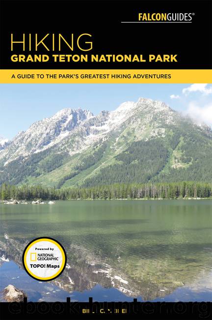
Hiking Grand Teton National Park by Bill Schneider

Author:Bill Schneider
Language: eng
Format: epub
ISBN: 9781493030040
Publisher: Falcon Guides
Published: 2018-02-13T05:00:00+00:00
14BRADLEY LAKE
WHY GO?
A short hike to a low-elevation lake.
THE RUNDOWN
Start: Taggart Lake Trailhead
Distance: 4.9-mile lollipop loop
Difficulty: Easy
Nat Geo TOPO! Map (USGS): Moose
Nat Geo Trails Illustrated Map: Grand Teton National Park
Other maps: Earth Walk Press Grand Teton map; NPS trail guide to Taggart and Bradley Lakes
FINDING THE TRAILHEAD
Take US 89 north of Jackson for 11.5 miles and turn left (west) at the Moose Junction. Drive past the Moose Visitor Center and through the entrance station (about a mile after turning off the highway). Follow this paved park road for another 2.2 miles from the entrance station and turn left (west) into the Taggart Lake Trailhead. If you’re coming from the north, drive 17.4 miles from the Jackson Lake Junction and turn right (west) into the trailhead parking lot. This trailhead has toilet facilities and plenty of parking. GPS: 43.693164 / -110.732919
Download
This site does not store any files on its server. We only index and link to content provided by other sites. Please contact the content providers to delete copyright contents if any and email us, we'll remove relevant links or contents immediately.
In a Sunburned Country by Bill Bryson(3536)
Annapurna by Maurice Herzog(3464)
How to Read Nature by Tristan Gooley(3332)
Dangerous Girls by Haas Abigail(3036)
SAS Survival Handbook by John 'Lofty' Wiseman(2715)
The Lost Art of Reading Nature's Signs by Tristan Gooley(2676)
In the Woods by Tana French(2581)
The Stranger in the Woods by Michael Finkel(2519)
Food and Water in an Emergency by Food & Water In An Emergency(2391)
Guns, Germs and Steel by Diamond Jared(2365)
Everest the Cruel Way by Joe Tasker(2337)
Wild: From Lost to Found on the Pacific Crest Trail by Cheryl Strayed(2252)
Sea Survival Handbook by Keith Colwell(2241)
Backpacker the Complete Guide to Backpacking by Backpacker Magazine(2240)
Trail Magic by Trevelyan Quest Edwards & Hazel Edwards(2177)
Ultimate Navigation Manual by Lyle Brotherton(2164)
Welcome to the Goddamn Ice Cube by Blair Braverman(2042)
Birds of the Pacific Northwest by Shewey John; Blount Tim;(1962)
The Last Flight by Julie Clark(1954)
