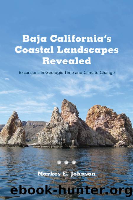
Baja California's Coastal Landscapes Revealed by Markes E. Johnson

Author:Markes E. Johnson [Johnson, Markes E.]
Language: eng
Format: epub
Tags: NAT045050 Nature / Ecosystems & Habitats / Coastal Regions & Shorelines, TRV014000 Travel / Mexico, SCI031000 Science / Earth Sciences / Geology
Publisher: University of Arizona Press
Published: 2021-11-16T00:00:00+00:00
FEATURED EVENTS
Time Travel Back to 1940 and Earlier
First Day (visit to Puerto Escondido): From Loreto on Mexico Highway 1, the turnoff to Puerto Escondido is reached after a distance of 15 miles (24 km) and is well marked by signage (see figure 1.7, locality 5). The outer harbor at Puerto Escondido covers an area of 125 acres (0.5 km2) and is perfectly shielded from prevailing winds out of the north by the quasi-island called Infirmary Hill (Cerro La EnfermerÃa). The mouth that opens to the hidden lagoon within (La Bocana) amounts to no more than 165 ft (~50 m) in width. It is all but invisible when arriving by boat from the south (map 6). The suddenness and utter surprise of the inner lagoon to the weary mariner seeking a safe anchorage for the night yields more than a sense of relief. It is a sight that conjures total enchantment. The inner harbor is 570 acres (2.3 km2) in size, ample enough to shelter an armada of sailing vessels and yachts. On that March day in 1940, one can imagine that the Western Flyer may have been the sole visitor at the entrance to the inner harbor. Steinbeck tells that their charts showed a maximum depth of 18 ft (5.5 m) within, considered too risky for the Western Flyer on account of the tidal range. Captain Tony Berry chose the outer harbor with its deeper anchorage for the duration of their two-and-a-half day stay. The inner harbor was explored using the vesselâs unreliable motorized skiff, affectionately known as the âSea Cow.â
Harbor facilities have expanded and improved over the years, and it is common to find dozens of sailing vessels at anchor in the lagoon. Larger ships that draw visitors to the Gulf of California as ecotourists often make a call at the main wharf just inside the entrance. Our first objective is to climb into the hills on the west side of the lagoon for an overview of the entire setting. Paved side roads offer easy access to the base of the hills about a half mile (750 m) from the entrance road, but thereafter it may be necessary to hike along a dirt road leading to a light tower at the side of a prominent indentation in the hills (map 6). The tower rises from a point near the distal end of a fault that cuts southward through a narrow valley from neighboring BahÃa Juncalito. A saddle in the hills at an elevation of 150 ft (45 m) marks the topographic boundary between the two bodies of water. Leaving the flats behind, we ascend a trail approaching the top of the divide, where a narrower path to the east departs to a lookout on an andesite knoll at an elevation of about 155 ft (47 m) above sea level. Here, we may enjoy an unobstructed view over much of the inner harbor (figure 6.1). The elevation provides perspective that reveals perhaps the most telling secret of the place. Isolated
Download
This site does not store any files on its server. We only index and link to content provided by other sites. Please contact the content providers to delete copyright contents if any and email us, we'll remove relevant links or contents immediately.
Machine Learning at Scale with H2O by Gregory Keys | David Whiting(4292)
Never by Ken Follett(3937)
Fairy Tale by Stephen King(3370)
Will by Will Smith(2907)
Hooked: A Dark, Contemporary Romance (Never After Series) by Emily McIntire(2547)
The Dawn of Everything: A New History of Humanity by David Graeber & David Wengrow(2191)
The Becoming by Nora Roberts(2188)
A Short History of War by Jeremy Black(1842)
The Strength In Our Scars by Bianca Sparacino(1840)
HBR's 10 Must Reads 2022 by Harvard Business Review(1839)
Go Tell the Bees That I Am Gone by Diana Gabaldon(1748)
A Game of Thrones (The Illustrated Edition) by George R. R. Martin(1719)
515945210 by Unknown(1660)
Bewilderment by Richard Powers(1607)
443319537 by Unknown(1545)
The 1619 Project by Unknown(1458)
The Real Anthony Fauci: Bill Gates, Big Pharma, and the Global War on Democracy and Public Health (Childrenâs Health Defense) by Robert F. Kennedy(1396)
How to Live by Derek Sivers(1351)
I Will Find You by Harlan Coben(1337)
