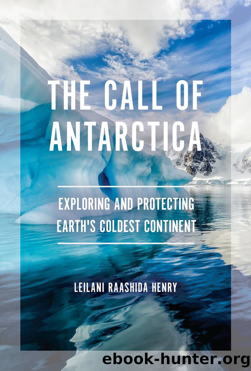
The Call of Antarctica by Leilani Raashida Henry

Author:Leilani Raashida Henry [Henry, Leilani Raashida]
Language: eng
Format: epub
Tags: Antarctica, Exploration & Discovery, Science & Nature, Habitats & Ecosystems, History, Richard Evelyn Byrd Jr., George Washington Gibbs Jr., Sea Voyage, South Pole, Mapping, Scientific Expedition, Wildlife, USS Bear, USS North Star, Earth History, Pangaea, Continental Drift, Aurora Australis, Geography, Landforms, Ocean Animals, STEM, Sea Life, Mammals, Cetaceans, Global Warming, Greenhouse Effect, Fossil Fuels, Glaciers, Pollution, Ozone Layer, Ozone Hole, International Geophysical Year, Antarctica Treaty System, Protocol on Environmental Protection, Antarctic Strategic Plan for Biodiversity, Commission for the Conservation of Antarctic Marine Living Resources (CCAMLR), Subglacial Lakes, Lichen, Moss, Marine Reserves, Ocean Acidification, Emperor Penguin, Adélie Penguin, Albatross, Petrel, Elephant Seal, Leopard Seal, Weddell Seal, Skuas, Terns, Shag Birds, Warming & Cooling Period, IceCube Neutrino Observatory, Tourism, Black History, African American History, Women's History, Invasive Species, Airplanes, Seaplanes, Antarctican Peninsula, Sled Dogs, Mountain Ranges, Tardigrades, Ocean Currents, Satellite Imaging, Sea Level Rise, Volcanoes, Weather, Whales, Magnetic Field, Segregation, Jim Crow, Gondwanaland, James Cook, Roald Amundsen, Richard Cruzen, Matthew Henson, Robert Peary, James Clark Ross, Robert Falcon Scott, Ernest Shackleton, James Weddell, US Research Stations, Little America Bases, World War II, Algae, Ice Cores, Microbes, International Association of Antarctica Tour Operators (IAATO), Continents, Extreme Weather, Atmosphere, Bedrock, Arctic, Nacreous & Noctilucent Clouds, East & West Antarctica, Earth Tilt, Radar, Reference Elevation Map of Antarctica (REMA), Ice Shelf, Satellite Imagery, Seismic Data, Snow Cruiser, Microplastics, Land Survey, US Navy, Wind Chill Index, Animals, Birds, Artists, Earth Science, Environmental Science, Environmental Conservation & Protection, Nonfiction, Young Adult Nonfiction, Young Adults
ISBN: 9781728411675
Publisher: Lerner Publishing Group
Published: 2021-08-02T00:00:00+00:00
Mapping Antarctica
Ancient mapmakers imagined that Earth held a southern continent. They placed it on their maps although no one knew for sure whether the land existed. But in the nineteenth century, explorers such as James Weddell, Fabian Gottlieb von Bellingshausen, and James Ross confirmed that indeed a continent was there. They began mapping the coastline of Antarctica using their own observations and measurements. Inland expeditions filled in the map even further. When Byrd and other pilots flew over Antarctica, they filled in more blank areas by taking aerial photographs. But even as late at 1971, a map of Antarctica was mostly featureless and whiteâbecause that is what pilots saw and what aerial photographs could show.
In the late twentieth century, satellite images revolutionized the work of mapmakers. Radar maps and digital satellite images compiled of the entire continent began to reveal the structure of the ice sheet at a level of detail not seen before. Previously unknown mountains, canyons, and lakes beneath the ice sheet were revealed by subtle topography on the surface. In the first decade of this century, new maps from Landsat and other satellites used sophisticated processing to show Antarctica in exact true color in digital images with excellent detail. In the fall of 2018, scientists at the University of Minnesota and Ohio State University showed the world the most detailed map of Antarctica made to date: the Reference Elevation Model of Antarctica, or REMA. Created by combining nearly 190,000 satellite stereo images and processed to show the continent in 3D, the map shows surface features that are no bigger than a car. It reveals icy ripples, snow formations, melting glaciers, and cracking ice shelves. The map helps scientists better track the melting and flowing ice and other changes in Antarctica caused by rising global temperatures.
Download
This site does not store any files on its server. We only index and link to content provided by other sites. Please contact the content providers to delete copyright contents if any and email us, we'll remove relevant links or contents immediately.
Machine Learning at Scale with H2O by Gregory Keys | David Whiting(4292)
Never by Ken Follett(3935)
Fairy Tale by Stephen King(3368)
Will by Will Smith(2906)
Fantastic Beasts and Where to Find Them: The Original Screenplay by J. K. Rowling(2503)
It Starts With Us (It Ends with Us #2) by Colleen Hoover(2338)
Can't Hurt Me: Master Your Mind and Defy the Odds - Clean Edition by David Goggins(2319)
The Storyteller by Dave Grohl(2226)
Friends, Lovers, and the Big Terrible Thing by Matthew Perry(2218)
The Becoming by Nora Roberts(2188)
Cloud Cuckoo Land by Anthony Doerr(2098)
New Morning Mercies: A Daily Gospel Devotional by Paul David Tripp(1908)
A Short History of War by Jeremy Black(1842)
HBR's 10 Must Reads 2022 by Harvard Business Review(1838)
The Complete Witcher by Andrzej Sapkowski(1833)
Cytonic by Brandon Sanderson(1831)
Go Tell the Bees That I Am Gone by Diana Gabaldon(1746)
Leviathan Falls (The Expanse Book 9) by James S. A. Corey(1724)
A Game of Thrones (The Illustrated Edition) by George R. R. Martin(1711)
