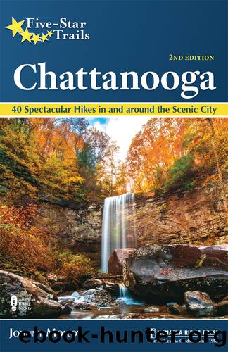
Five-Star Trails: Chattanooga by Johnny Molloy

Author:Johnny Molloy
Language: eng
Format: epub
Publisher: Menasha Ridge Press
Published: 2020-11-15T00:00:00+00:00
Take the Big Creek Rim Trail southwesterly along the north rim of Big Creek Gulf, shaded by mountain laurel, pines, and oaks. Blueberry bushes grow along the brow. If you are lucky enough to catch the mountain laurel in bloom in early May, then you will be in for a treat. If hiking then, simply call the ranger station and ask about the laurel blooms. At 1.2 miles come to Split Rock Overlook, the first of many vistas along this trail. Begin a pattern of dipping into tributariesâmost often dryâand then turning out to the rim. When hiking through these hickory-pine-oak forests, it is hard to imagine a drop hundreds of feet deep is nearby.
Reach the Sinks Overlook at 2.4 miles. This refers to the Big Creek Sink below, into which Big Creek flows underground most of the year. To the west, Big Creek Gulf is closing in. Come to Pine Rock Overlook at 3.3 miles, with a rewarding vista down the gulf. Also check out the nearby overhanging bluffs. You will likely hear Big Creek flowing below because you are now upstream of the sink. At 3.5 miles meet Big Creek Overlook. Big Creek Rim Trail reaches the Alum Gap backcountry campsite at 3.9 miles. Individual campsites are scattered in the surrounding woods. Just ahead is a major trail junction. Here, Big Creek Gulf Trail heads left for Big Creek. A ranger access road leads right. Greeter Trail comes in just a short distance down the Big Creek Gulf Trail, and Laurel Trail keeps straight.
Join the singletrack Laurel Trail, turning north in pine-oak woodland. Shortly bridge a wetland on a boardwalk. At 4.2 miles come to the signed remains of a moonshining operation. Two cooking areas stand side by side. At 4.9 miles the loop nears a field and the park boundary. Begin crossing numerous wetlands on boardwalks between low hills. Enjoy an extended stroll in upland forest. Walk under a power line, then cross Stone Door Road at 6.6 miles. Come alongside Laurel Gulf, then rise a bit. You pass very near the ranger station, but donât end the hike yet. Instead, turn left on the Laurel Falls Loop. Descend to a short spur to an old gristmill site. Here, you can see remains of the mill dam. Turn downstream and find Laurel Falls. It dives off a stone lip into a semicircular amphitheater with a huge rock house (natural rock shelter). Donât even try to reach the base of the falls in this rugged terrain. Pass a wooden observation platform before making a final short climb to the ranger station and trailhead.
Download
This site does not store any files on its server. We only index and link to content provided by other sites. Please contact the content providers to delete copyright contents if any and email us, we'll remove relevant links or contents immediately.
In a Sunburned Country by Bill Bryson(3535)
Annapurna by Maurice Herzog(3464)
How to Read Nature by Tristan Gooley(3332)
Dangerous Girls by Haas Abigail(3036)
SAS Survival Handbook by John 'Lofty' Wiseman(2715)
The Lost Art of Reading Nature's Signs by Tristan Gooley(2676)
In the Woods by Tana French(2581)
The Stranger in the Woods by Michael Finkel(2518)
Food and Water in an Emergency by Food & Water In An Emergency(2390)
Guns, Germs and Steel by Diamond Jared(2365)
Everest the Cruel Way by Joe Tasker(2337)
Wild: From Lost to Found on the Pacific Crest Trail by Cheryl Strayed(2250)
Sea Survival Handbook by Keith Colwell(2240)
Backpacker the Complete Guide to Backpacking by Backpacker Magazine(2238)
Trail Magic by Trevelyan Quest Edwards & Hazel Edwards(2177)
Ultimate Navigation Manual by Lyle Brotherton(2162)
Welcome to the Goddamn Ice Cube by Blair Braverman(2041)
Birds of the Pacific Northwest by Shewey John; Blount Tim;(1962)
The Last Flight by Julie Clark(1953)
