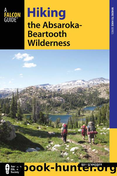
Hiking the Absaroka-Beartooth Wilderness by Schneider Bill;

Author:Schneider, Bill;
Language: eng
Format: epub
ISBN: 4086346
Publisher: Falcon Guides
There are a couple of campsites on the north shore of Armstrong Creek near the trail and one campsite at the upper end of the second lake, so this can be an easy overnighter.
Fishing
Slough Lake provides a good source of willing brookies for dinner or for fun.
Miles and Directions
0.0 Start at Phantom Creek Trailhead.
2.0 Slough Lake.
4.0 Arrive back at Phantom Creek Trailhead.
Red Lodge Area
The area between Red Lodge and Beartooth Pass has several trailheads, mostly along the West Fork of Rock Creek, but also in the Lake Fork of Rock Creek and the main fork of Rock Creek below Beartooth Pass. The trails in this area provide a nice variety ranging from short, easy, flat hikes to opportunities to explore the backcountry off-trail. Many lakes and other scenic areas can be reached within a few miles of a trailhead. The climbs to some lakes are often steep but usually short.
The West Fork of Rock Creek Road, known locally as the West Fork Road and officially as FR 71, actually has five trailheads, all in proximity, along with three vehicle campgrounds and a sprinkling of residential developments. Since the West Fork Road starts right in Red Lodge, the lower valley feels like the townâs backyard wilderness.
The West Fork Road is paved for the first 7 miles up to Basin Creek Campground. All West Fork trailheads are well signed and can be reached with any vehicle, with the possible exception of the Silver Run Trailhead, which is difficult to reach without a high-clearance, four-wheel-drive vehicle. This is a heavily used area, both for day trips and extended backcountry excursions. Fortunately, the area offers a wide range of trail choices, and visitors tend to disperse. Trails rarely feel crowded.
To access the West Fork trailheads, turn west onto the West Fork Road (FR 71), which leaves US 212 on the south edge of Red Lodge and is marked with a ski area sign. After 3 miles the road bends left and heads up the West Fork. Calculating from Red Lodge, the mileage to the trailheads in the West Fork is as follows:
Silver Runâ4.5 miles
Basin Creekâ7 miles
Timberline Lakeâ11 miles
West Fork and Senia Creekâ13 miles
The Lake Fork of Rock Creek area is similar to the West Fork. Both drainages are easily accessible from Red Lodge and receive lots of use. The high level of use in the Lake Fork may be more noticeable because everybody uses the same trail. In the West Fork, multiple trails tend to disperse the use.
The Rock Creek area is the last stop before driving up the world-famous switch-backs to the top of Beartooth Pass and into Wyoming. The two trailheads (Glacier Lake and Hellroaring) are accessed from the Forest Service campgrounds at the base of Beartooth Pass. Day hikers can camp at one of the three vehicle campgrounds and go to Hellroaring Plateau and Glacier Lake on one-day outings. Regrettably, both the Hellroaring Plateau and Glacier Lake roads have deteriorated badly in recent years and require a high-clearance, four-wheel-drive vehicle to reach the trailheads.
Download
This site does not store any files on its server. We only index and link to content provided by other sites. Please contact the content providers to delete copyright contents if any and email us, we'll remove relevant links or contents immediately.
Backpacker the Complete Guide to Backpacking by Backpacker Magazine(1837)
The Isle of Mull by Terry Marsh(1534)
Capital in the Twenty-First Century by Thomas Piketty(1431)
Predation ID Manual by Kurt Alt(1320)
The Collected Non-Fiction by George Orwell(1318)
Small-Bore Rifles by C. Rodney James(1276)
Creative Confidence by Tom Kelley(1149)
Backcountry Bear Basics by Dave Smith(1145)
All Fishermen Are Liars by John Gierach(1128)
50 Famous Firearms You've Got to Own by Rick Hacker(1110)
Blood Mountain by J.T. Warren(1102)
The Art of Throwing by Amante P. Marinas Sr(1092)
Archery: The Art of Repetition by Simon Needham(1072)
Long Distance Walking in Britain by Damian Hall(1059)
Backpacker Long Trails by Backpacker Magazine(1037)
The Fair Chase by Philip Dray(986)
The Ultimate Shooting Skills Manual: 212 Essential Range and Field Skills (Outdoor Life) by The Editors of Outdoor Life(973)
The Real Wolf by Ted B. Lyon & Will N. Graves(968)
The Ultimate Guide to Home Butchering by Monte Burch(953)
